The Nuraghe Appiu archaeological site, set in a natural context and with the most common elements of the Nuragic and pre-Nuragic civilisation, offers a magnificent overview of Sardinia’s archaeological beauty.
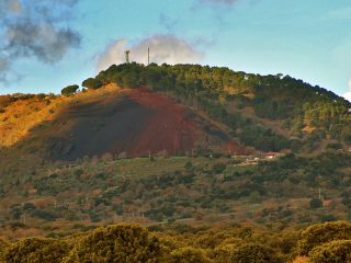
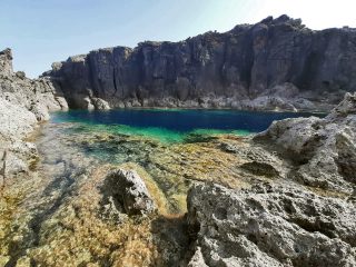
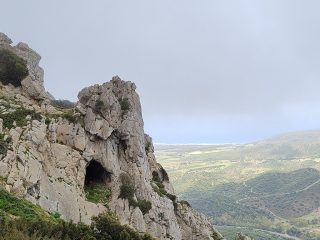
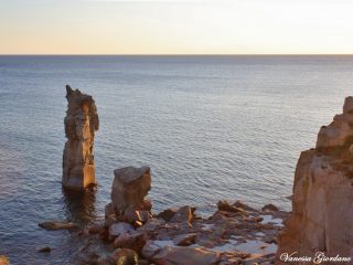
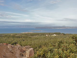
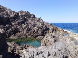
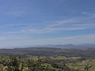
The site can be found in the Villanova Monteleone area, on the Chentu Mannas plateau at around 500 m a.s.l. and dominates the coast spanning from the promontory at Capo Caccia as far as Capo Marrargiu.
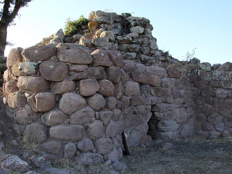
The monuments which can be visited at the site include the quatrefoil nuraghe, built with large boulders of volcanic rock and featuring a stronghold with four towers still intact, a covered internal courtyard and a central tower with two overlapping rooms with false cupolas.
Part of the village can be seen around the nuraghe. To date, two blocks have been excavated, featuring a series of different-sized huts overlooking courtyards.
You can visit another two monuments possibly part of a second Nuragic settlement, about 300 metres away, in a cork grove. A Tomb of the Giants, of which the funeral chamber and part of the exedra are still visible as well as a single-tower Nuraghe.
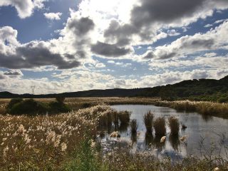
About 40 m southwest of the Tomb of the Giants are two dolmen and three menhir. Blending perfectly into the natural landscape surrounding them, these pre-historic examples of human presence form a system of strong symbolic meaning.
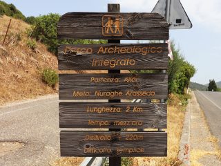
Take the provincial road SP 12 from Villanova Monteleone. Turn right after 6 km onto the Monte Cuccu B-road. Carry on for 2.1 km as far as the car park at the archaeological site.


