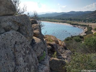
The necropolis has 18 domus de janas located on the south-western slope face of the trachyte crag circumscribing the Pranu Oschiri plateau. The hypogeums are dug on three horizontal levels one on top of the other, for a maximum height of 3 m above ground level. The tombs could be reached thanks to notches and foot indents carved into the rocky crag. A detailed system of channels conducted the rainwater either side of the tombs, protecting the decorations, bodies and funeral goods from dampness and decay.
The burials are arranged into simple (single cell, dual cell and “T” shaped) or multi-cell systems. The latter have an anti-cell which generally preceded a chamber with side cells stemming off it. The cells were used for funeral purposes, while the funeral worship and rituals were performed in the anti-cell.
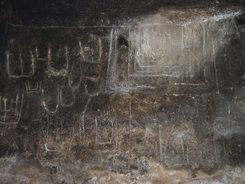
The tombs were uncovered in the 1970s and brought to light a high concentration of petroglyph and artistic representations, also revealing the levels of attendance in Nuragic and Roman times and the early Middle Ages. Tomb IX, also known as “sa tumba de su re” is of particular significance; it clearly distinguishes itself from the others due to the curved stele on the facade like the kind found on the tombs of the giants. The stele was carved after the hypogeum was dug out, in the Ancient Bronze period, making the most of the space left by a previous anti-cell.
The domus’ interiors are full of architectural elements which reproduce the terrestrial residence: ceilings, embossed fascia, columns, pillars, half-pilasters and fireplaces. There is an abundance of neolithic piety decorations and symbols: the red ochre painting, the motif on the false door symbolising the entrance to the afterlife, the bull’s horn and protomes produced in bas relief and coloured red or carved.


