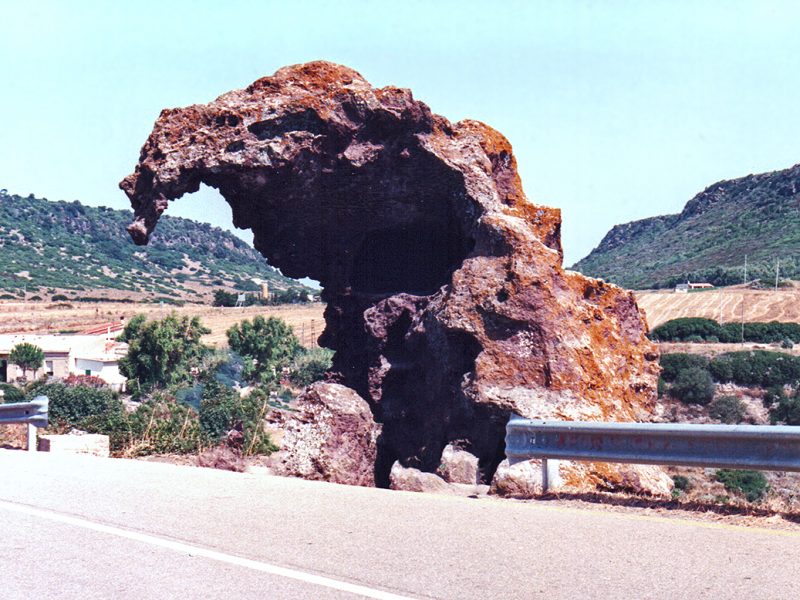
The Roccia dell’Elefante is a natural monument in the district of Castelsardo, in Multeddu, in the province of Sassari, and is clearly visible from the S.S. 134.
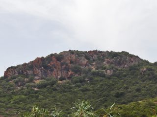
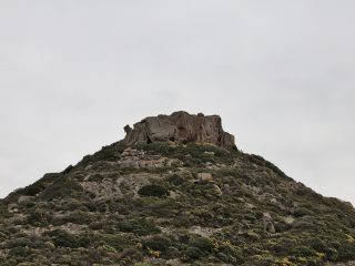
The Roccia dell’Elefante stands about four metres high and from a geological-geomorphological point of view, it is a large trachyte and andesitic rock, with a strong rusty colour. It has been severely eroded by atmospheric agents which have given it its unusual appearance, similar to the figure of a sitting elephant. The rock was originally part of the Monte Castellazzu rock formation from which it detached and collapsed into the valley.
As well as its naturalistic and landscape significance, the Roccia dell’Elefante is also of considerable archaeological relevance. Indeed, internally it houses two Domus de Janas tombs, dating back to the final Neolithic period (3200-2800 B.C.).
Traces of three smallish rooms is all that is left of Tomb I (upper), badly damaged by atmospheric agents. It is believed that the destruction of this tomb occurred in ancient times and led to the construction of the tomb below.
Tomb II (lower) is well preserved and consists of a short open-air corridor known as “dromos”, an anti-cell, two further cells arranged along the longitudinal axis and a final cell, opening onto the previous one. Two bovine reliefs are carved on the side walls of the first chamber with half-moon horns. The walls in the second chamber are also decorated with architectural motifs.
In the past, in documents and maps, the rock was known as ”Sa pedra pertunta‘‘ (“the drilled stone” in local dialect). Only after 1914, with the work of the expert Edoardo Benetti did the formation acquire its current name of Roccia dell’Elefante.


