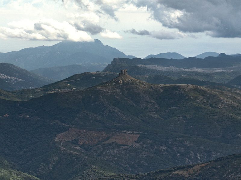
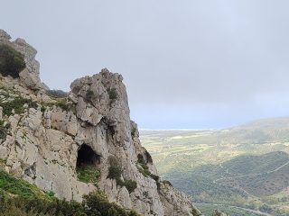
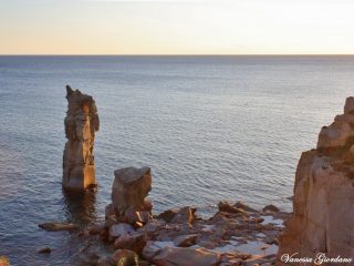
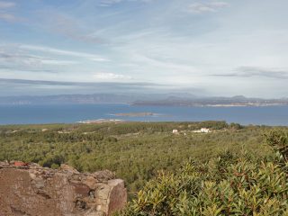
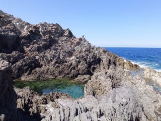
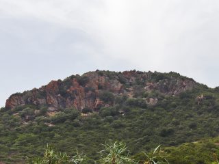
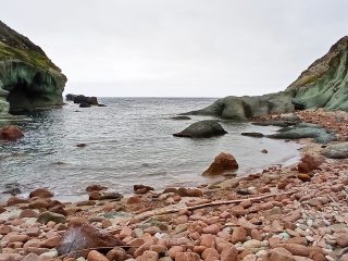
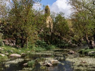
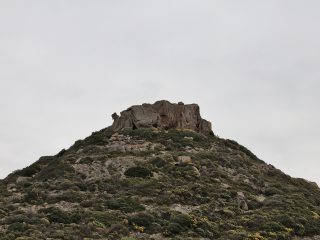
The natural monument of Perda ‘e Liana can be found in the district of Gairo, in the province of Nuoro.
The morphology of this elevation is typical of the “tacchi” (buttes) dell’Ogliastra and, at height of 1,293 m a.s.l., Perd’e Liana is the tallest one.
The geology of the butte features different limestone rocks. The upper part, the actual tower of the butte is a cylinder of Dolomite rock, with a diameter spanning around 100 metres. Its vertical walls are about 50 metres high. The peak of the butte dates to the Jurassic period (130 -150 million years ago and is linked to processes of underwater environmental sedimentation, as is clear from the marine fossils found in the rock. The truncated-conical base of the butte, on the other hand, consists of arenaceous rock from the Mesozoic era which, in turn, rests on the older schistose rocks from the Palaeozoic age.
From a flora point of view, the rockrose is the most popular bush found here. Together with this plant, we can find herbs such as thyme, and the typical essences of Mediterranean shrub like strawberry tree and heather. Tree species include Montpellier maple and holm oak. At ground level, we can also the observe the bluebell, micromeria, the Orchis mascula, the Ophrys morisii, the buckthorn, the saxifrage and the whitebeam.
Some of the most commonly found animals here include the mouflon, wild cat and dormouse. In the skies above, it is common to spot the golden eagle, Bonelli’s eagle, peregrine falcon, buzzard, sparrowhawk, goshawk, kite, griffon, Cinereous vulture and bearded vulture.
Thanks to its shape, Perd’e Liana was, for a long time, linked to religious worship, probably as early as the Nuragic era or, in any case, pre-Christian times. A number of popular legends link it to the entrance to hell. In the collective imagination, the devils would come out and dance around it in the moonlight ready to grant people’s wishes in exchange for their soul.
The name “liana” may derive from the smooth rock’s features or from the Sardinian name for the strawberry tree, “olione”. Other interpretations refer to the Nuragic people, the Ilienses who probably regarded the butte as a holy place. The mountain is clearly visible at a considerable distance from the most important Nuragic settlements in Ogliastra and the surrounding area.
A law was passed in 1993 declaring Perda ‘e Liana a natural monument. It is also part of the Site of Community Importance (SCI) “Monti del Gennargentu” (ITB021103), regulated by the Rete Natura 2000.


