
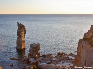
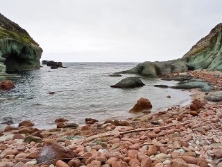
Capo Sandalo is one of the promontories on the western side of the Isola del San Pietro, in the municipality of Carloforte.
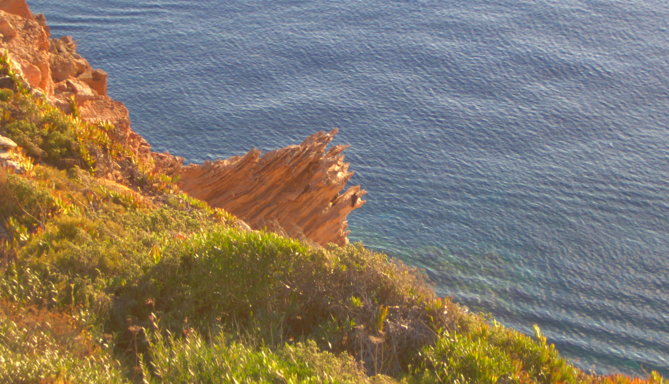
The area, also well known for the stunning nineteenth-century lighthouse overlooking it, has an imposing rockface overhanging the sea.
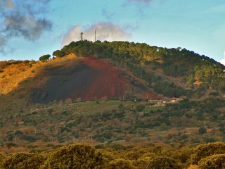
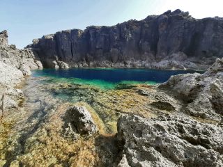
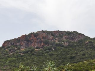
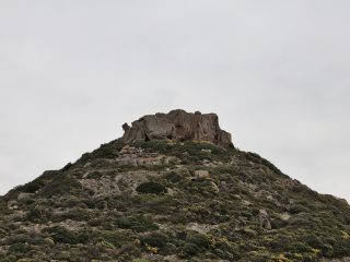
The promontory and cliff rock are volcanic and to be precise, welded tuff. The promontory features a continuation of small rocky coves and steep cliffs.
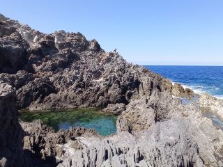
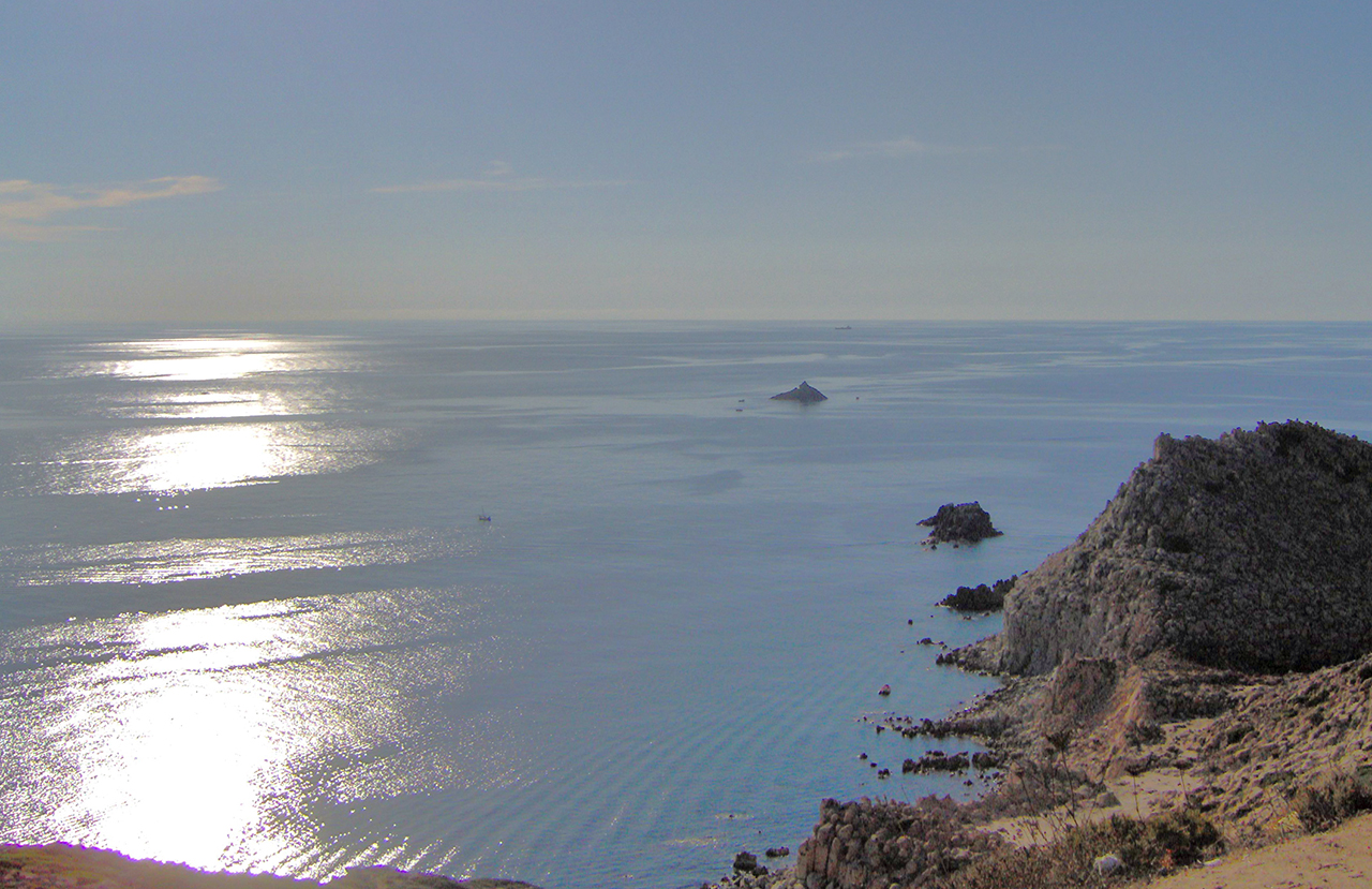
Opposite the Capo, we can find the small isola del Corno, a popular spot with diving and recreational fishing enthusiasts, given its abundance of marine life.
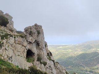
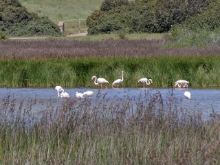
That said, the most important naturalistic feature in this area is the presence of the Eleonora’s Falcon. This rare bird of prey, originally from Madagascar, nests on the cliffs, in the middle of Mediterranean shrub bushes.
This led to the establishment of the LIPU avifauna oasis extending from Cala Vinagra, in the north, passing through Cala Fico, as far as Capo Sandalo.
Tradition has it that it was precisely the Judge Eleonora D’Arborea (1347-1403) who declared the falcons a protected species in Sardinia. This is why the name Eleonora’s Falcon was given to the bird in her honour, and whose scientific name is Falco eleonorae (Falco eleonorae Gené, 1839).
As well as this extremely rare species, the reefs in the area are also home to kestrels, buzzards and Peregrine falcons. Amidst the surface rocks, you can also spot the Audouin’s gull, with its unusual coral red beak, and the European shag from its tuft.
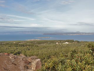
A large belvedere has been set up on the rocks known as the Piazzale panoramico di Capo Rosso. From here, you can admire most of the island’s south-western coast, towards the cliffs of Punta dei Cannoni and Punta Spalmatore.
The Faro di Capo Sandalo is considered Italy’s most westerly lighthouse. The tower stands at 138 m a.s.l. and, in the dark, the light from the lantern can be seen as far as 28 miles from the coast, in the direction of Gibraltar.


