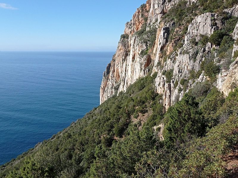
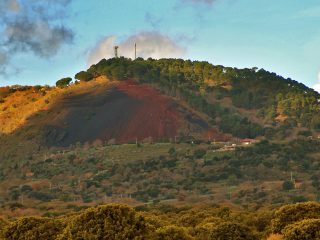
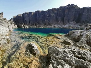
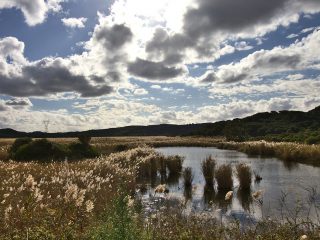
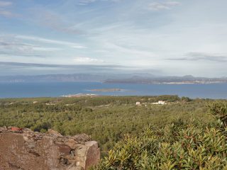
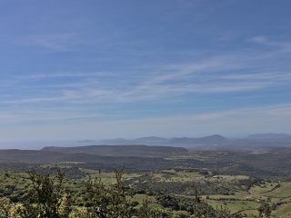
This stretch of coastline in south-western Sardinia, extending for around 10 kilometres, includes most of the island’s key elements of coastal morphology.
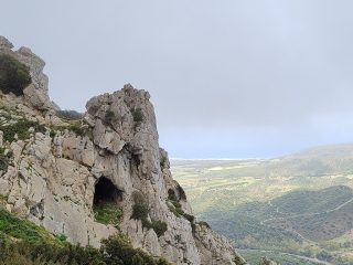
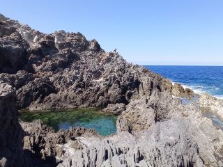
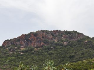
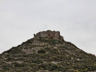
Here we can observe limestone cliffs from the Paleozoic era, sandy and pebble beaches, schist outcrops from the Cambrian era and the complex of red-purplish pudding stones from the Ordovician period (sedimentary rocks).
It has an uneven pattern, falling within the area of the municipality of Iglesias and its hamlets.
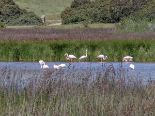
The fauna in the area is particularly interesting thanks to the presence of numerous bird species protected under the habitat directive, such as the Peregrine falcon.
As far as the flora is concerned, we can see plant formations which are unique throughout Europe, some of them endemic to Sardinia. The various species include the sea lavender, sea fennel and broom.
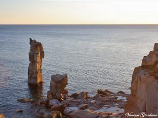
This high level of biodiversity means the area has an excellent environmental quality from a European point of view. This stretch of coastline is also of significant historical and landscape importance, due to the beauty of its coastlines, with cliffs plummeting into the sea and different size islands (e.g. the Pan di Zucchero) behind it, and the delightful old mines spread across the entire area.
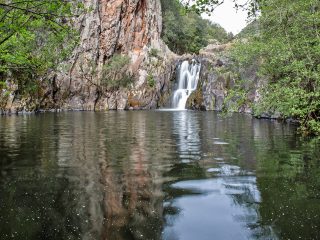
In the area further north of the coast, you’ll find the Natural Monument “Canal Grande di Nebida”. This is a small valley opening up onto the sea in the cliff. The valley is carved out of schist and sandstone from the Cambrian era, which have layers of rock deposited almost vertically, by the tectonic events of the Variscan orogeny.
The key point of attraction is a natural cavern called Grotta del Canal Grande (or Spigole). The partly submerged cave has two access points from the sea and by land. It is 150 metres long, about 30 metres high and 5 metres wide. Today, the Grotta del Canal Grande is the only cave in Sardinia, carved out of Cambrian schist.
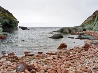
Heading northwards from the south, there are a number of small coves. The first is Porto Raffa with a sandy shore enclosed between the high schistose coastline. Porto Banda is the next town after Nebida. This is a small beach extending for around 100 metres, with dark pebbles and shingle, at the bottom of a very narrow inlet and natural opening of a valley. Continuing on, we come to Porto Ferro, a small inlet, difficult to reach, at the end of a long and panoramic route and only accessible with four-wheel-drive vehicles. In the promontory of the same name, we find Porto Corallo, a small port and shelter for fishing boats, with purple coloured limestone rocks. Opposite the old mining centre, we find the beach of Porto Masua. A wide, multi-coloured gravel beach huddled in between the rocks, where the remains of old mining buildings can be found, and which are easily accessible.
The area is part of the Sites of Community Importance (SIC) “Costa di Nebida” (ITB040029), regulated by the Rete Natura 2000.


