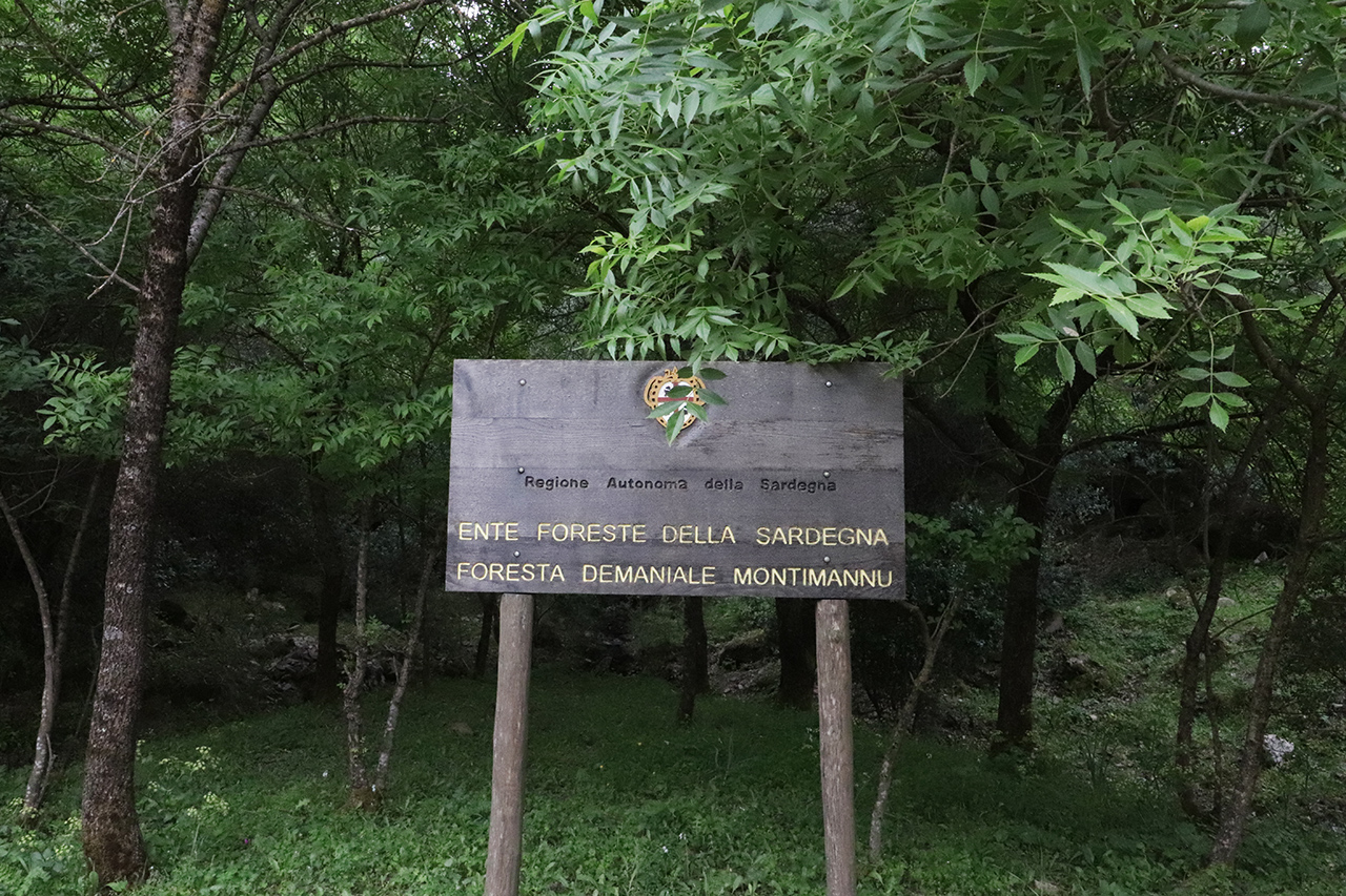
The state-owned Montimannu Forest is one of the largest forestry areas in Sardinia and extends across the municipalities of Villacidro, Iglesias and Domusnovas.
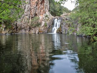
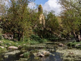
It covers around 4,600 hectares with uncontaminated natural landscapes, natural monuments, Nuragic archaeological and industrial sites and some of the highest waterfalls in Sardinia, such as the Muru Mannu and Piscina Irgas.
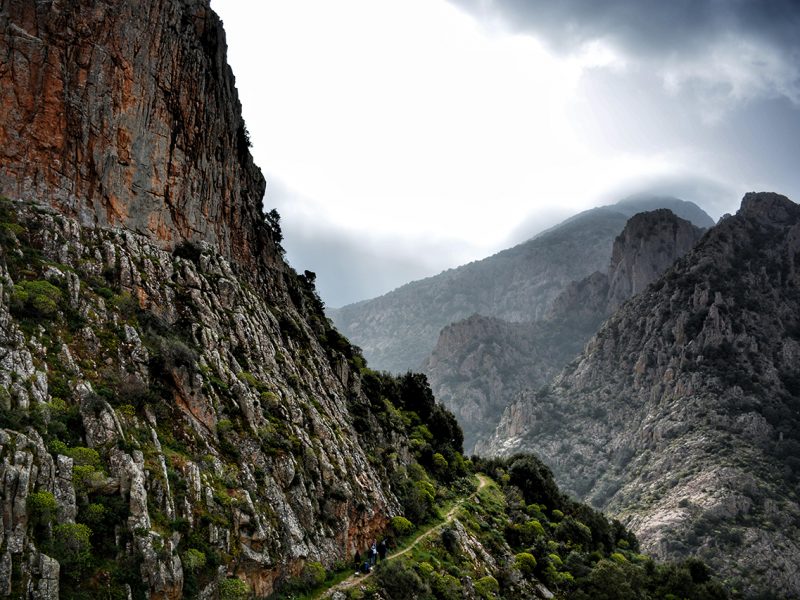
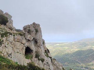
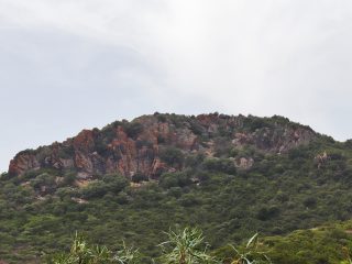
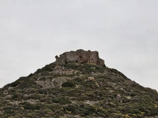
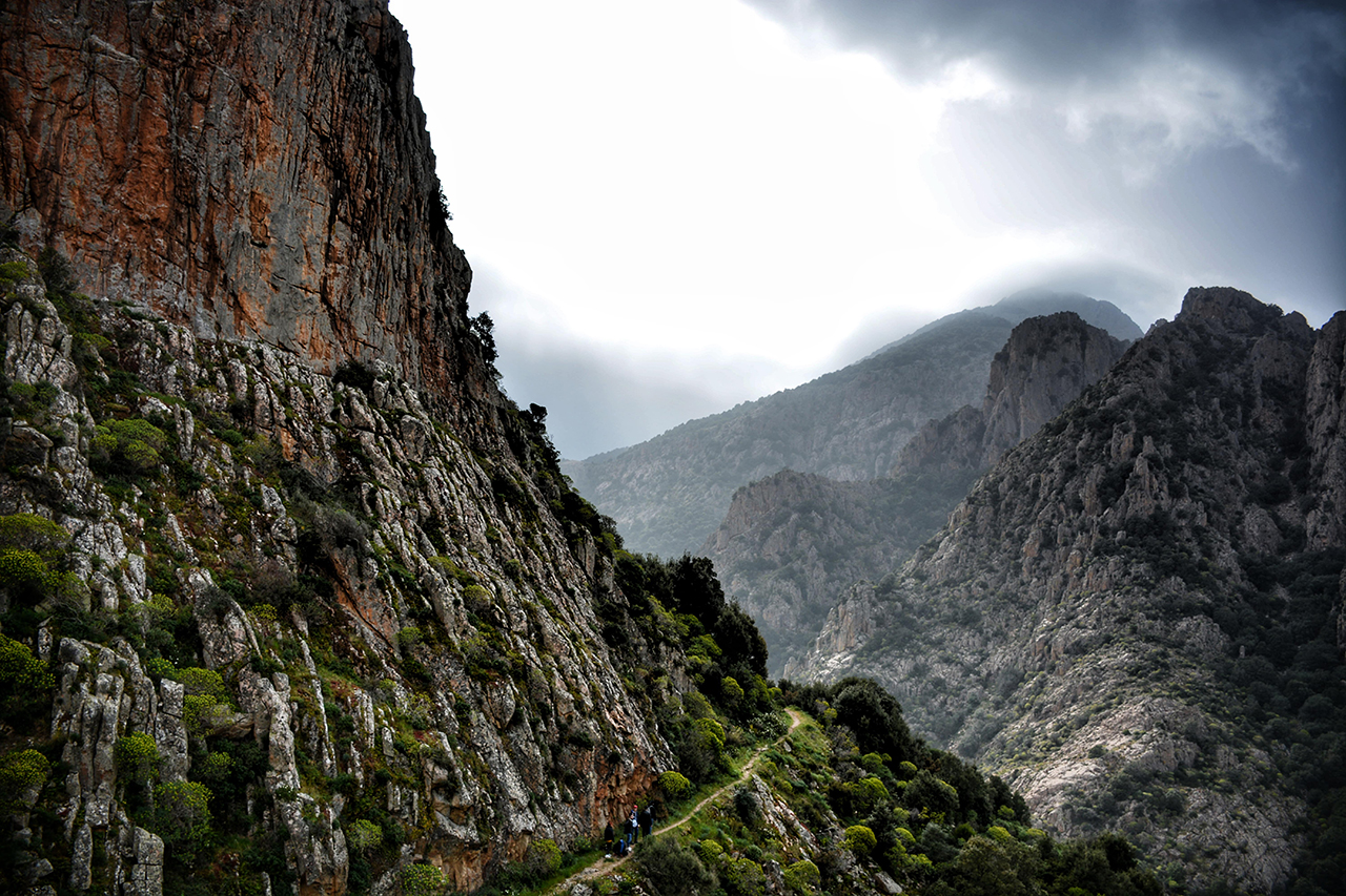
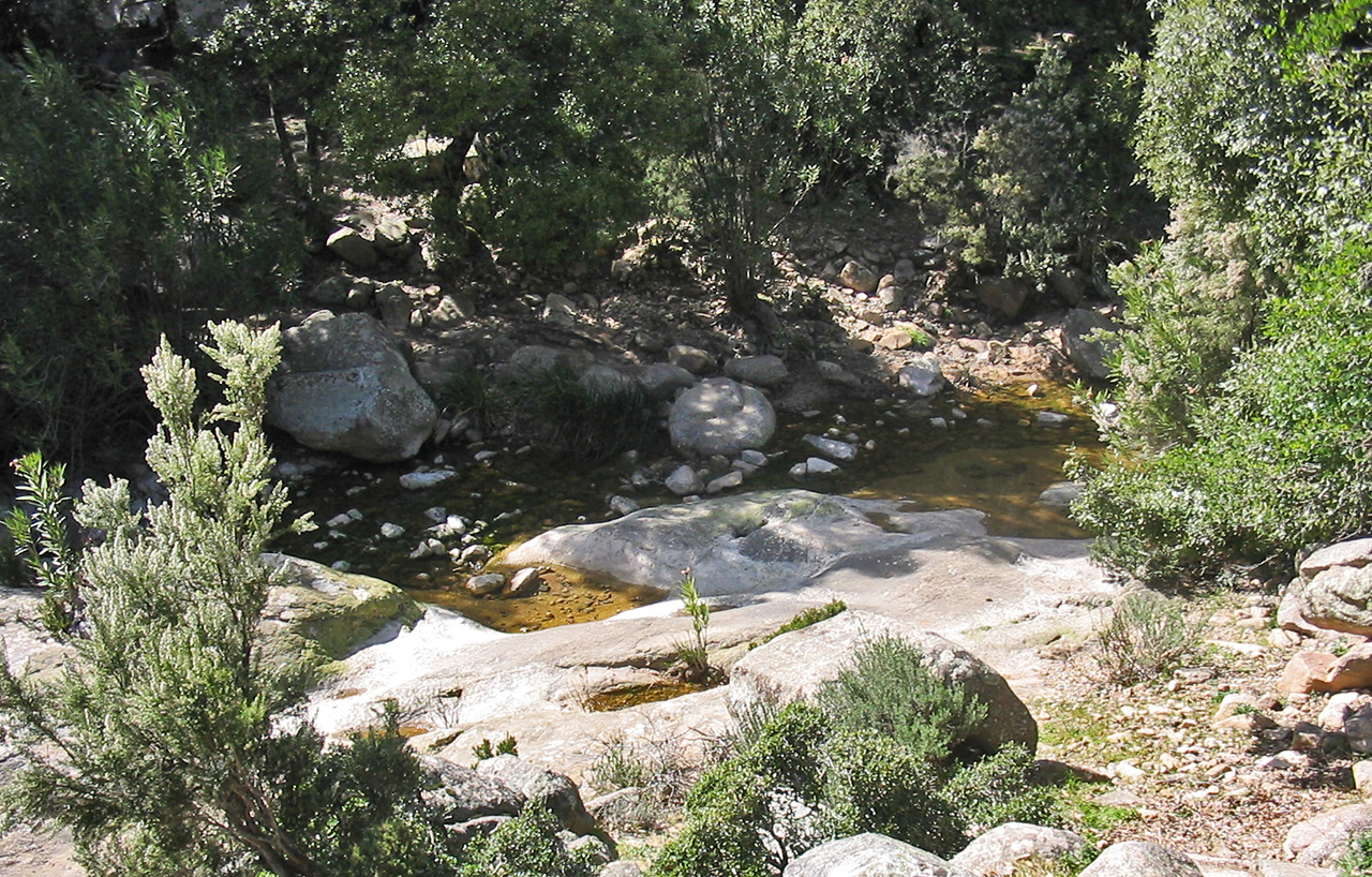
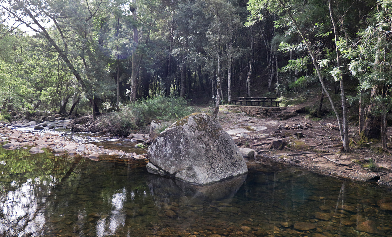
The area’s geology features granite rocks which in some points form imposing rock walls, with narrow paths running along them. To the south, the granite makes way for metamorphic rocks.
The forest is dominated by the presence of holm oak and cork, together with other typical Mediterranean shrub essences. Ash trees can be found in some areas near rivers while other areas have been the subject of reforestation with pine trees.
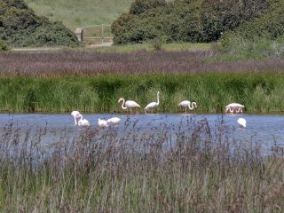
The forest is also the natural habitat for the mouflon, boar and Sardinian deer. It is not uncommon to spot the peregrine falcon and golden eagle flying above.
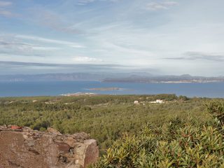
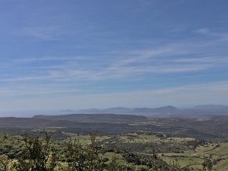
Punta Acqua Zinnigas (1,136 m a.s.l.) is the highest peak in the forest. This is a panoramic spot from where, on a clear day, you will have views as far as the Gennargentu, Serpeddì and Sette Fratelli massifs, the Golfo di Cagliari, the Monti del Sulcis and the Isola di San Pietro.
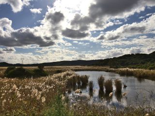
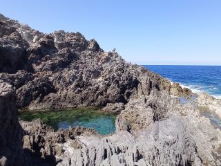
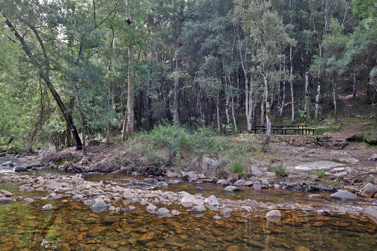
The area has an abundance of water with springs and rivers like the rio Cannisoni and the rio d’Oridda, which merge in the valley into the Rio Leni.
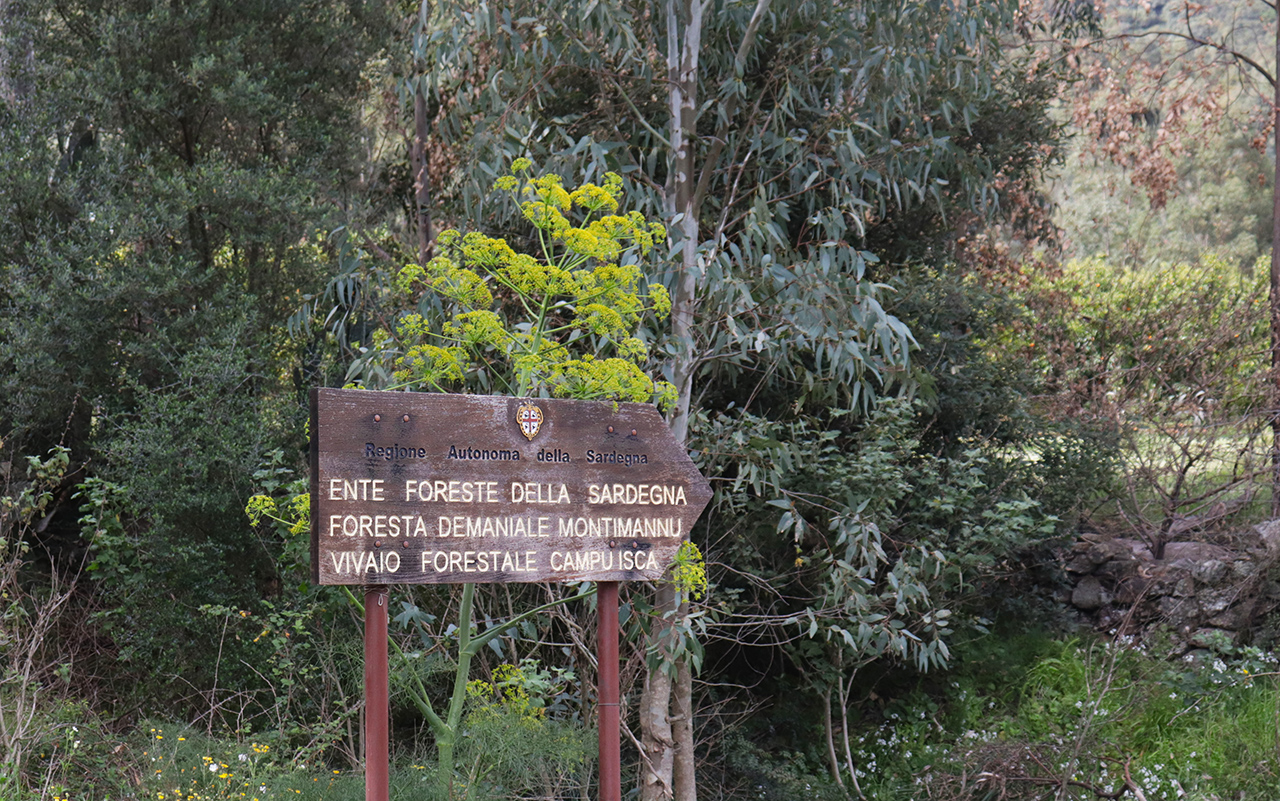
In Campu de Isca we can find a nursery, for the production of reforestation plants. The nursery is home to holm oak, cork, pine, wild olive, carob, cedar, downy oak trees and a variety of other Mediterranean essences.
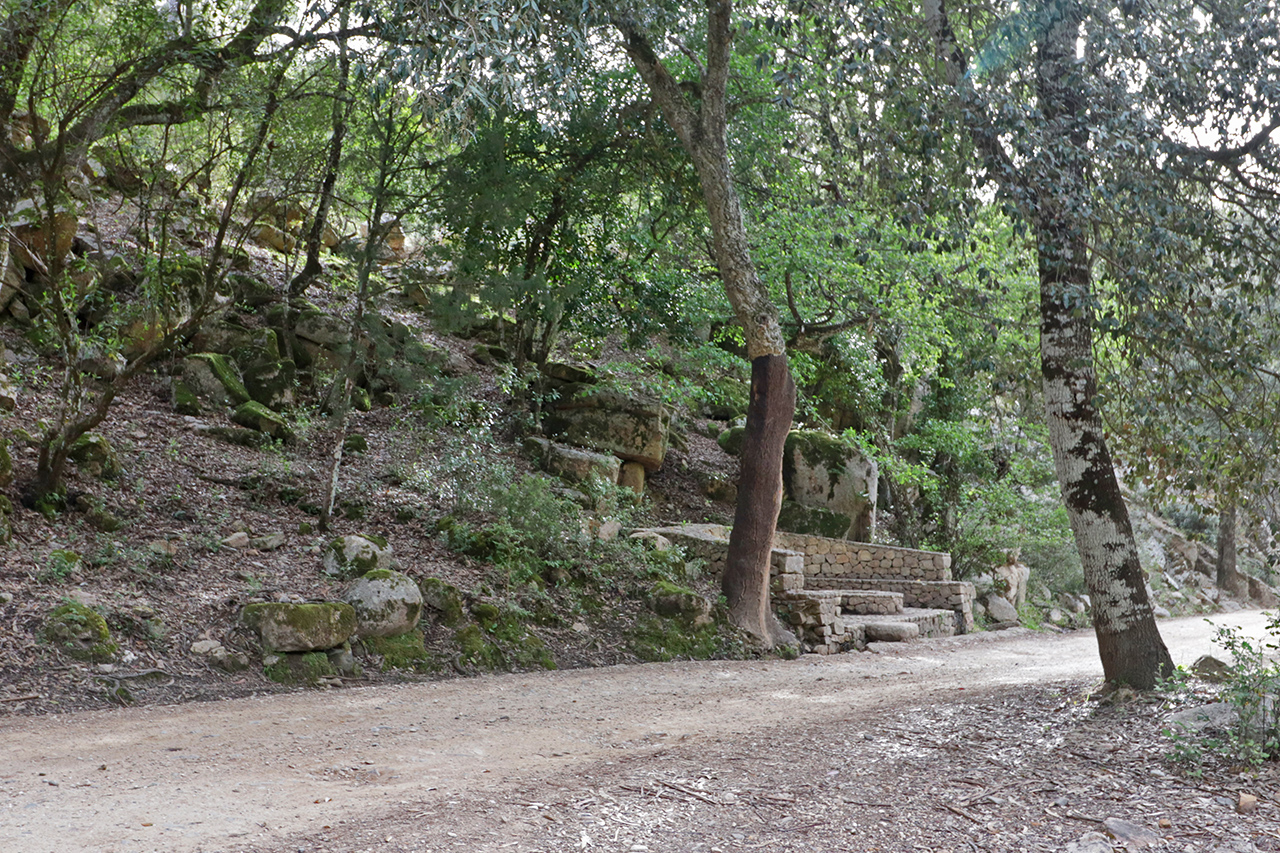
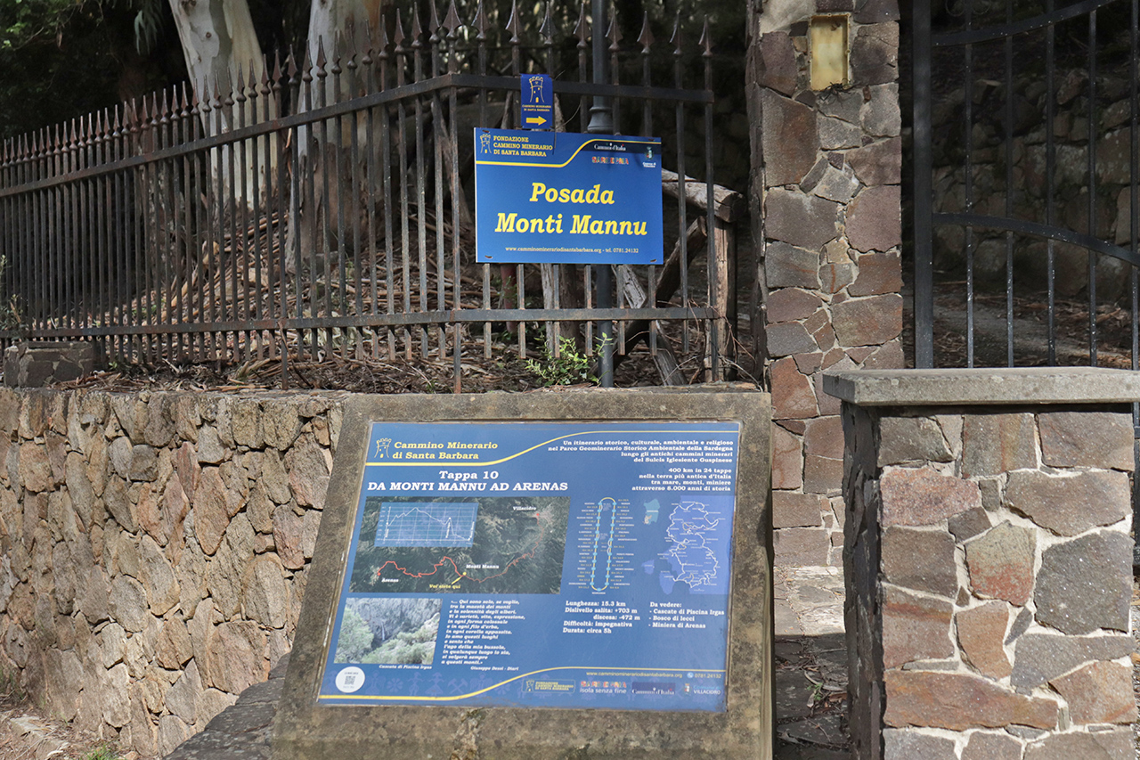
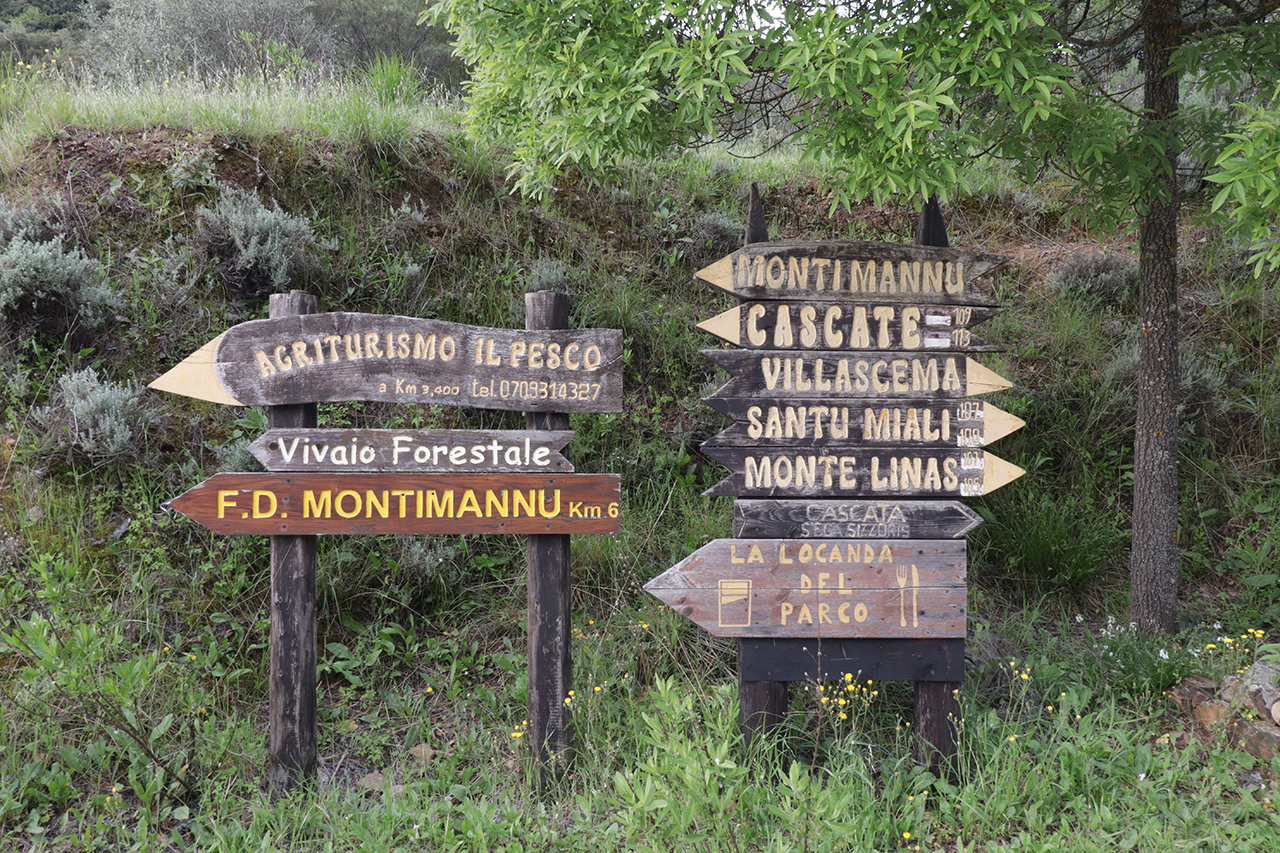
The entire forest is crossed by an extensive network of old mule tracks and paths many of them marked with CAI (Italian Alpine Club) signs. A leg of the Santa Barbara Mining Trail also crosses through the forest.
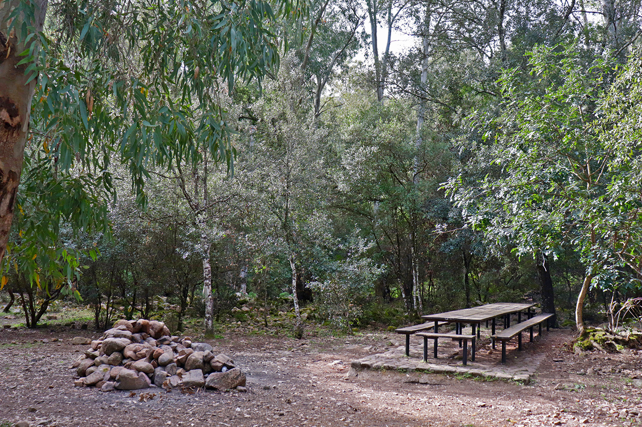
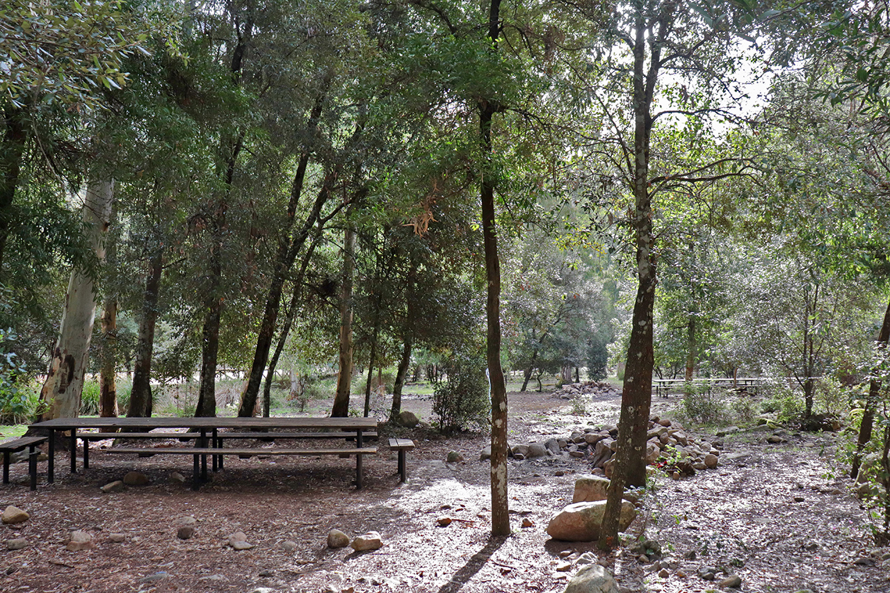
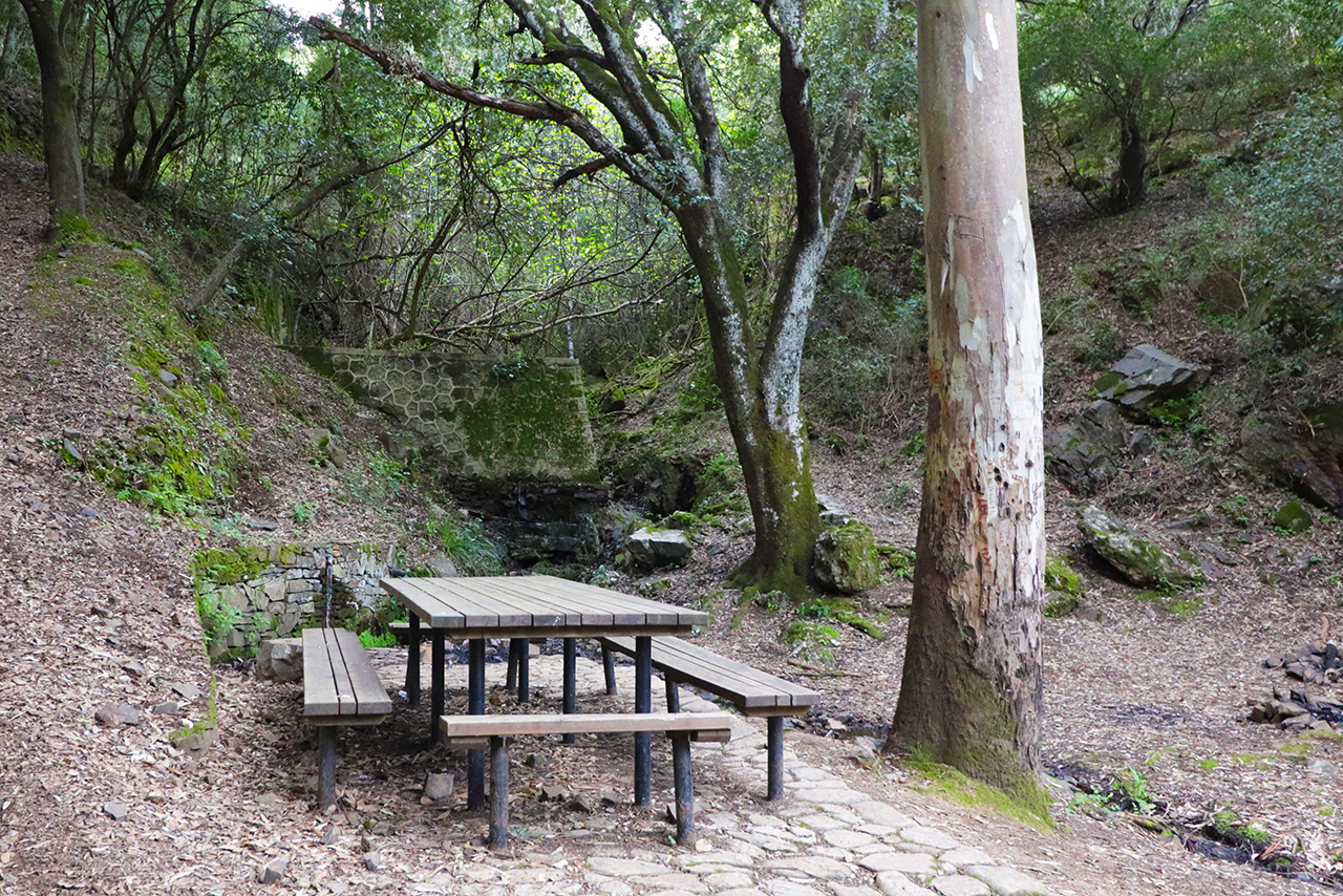
There is a mountain camp, nowadays used as a restaurant, and the forest rangers’ barracks at the foot of the Monte Acqua Piccinna (1010 m a.s.l.). There are different equipped areas right across the forest with tables and points for lighting fires.
The Montimannu Forest is part of the Site of Community Importance (SCI) “Monte Linas – Marganai” (ITB041111), regulated by the Rete Natura 2000.


