
Burgos Forest lies halfway between the municipalities of Burgos and Bono, in the province of Sassari, in the historical region of Goceano.
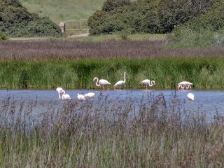
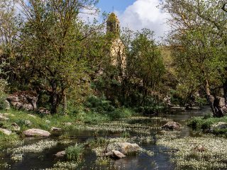
The forest consists mainly of downy oak trees and mixed forestry formations of holm oak and cork, interspersed with vast meadows.
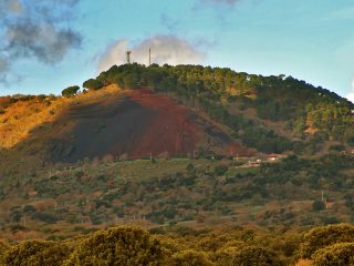
This area has seen various anthropic activities since ancient times.
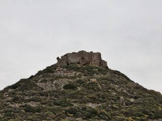
There are a lot of important and interesting archaeological settlements here, like the large polylobed Nuraghe Costa and the Nuraghe Erismanzanu.
In recent times, at the end of the XIV century, the first animal rearing began, starting with a small farm which went on to become, in 1906, a place for the royal army to breed horses for the police and Carabinieri.
Around this activity, a small town grew up, which is now abandoned.
At the end of the 1950s, the military work ended and the village was abandoned as a result. However, the horse rearing activity was handed over to the Horse Breeding Institute in Ozieri, which is still operational to this day. Indeed, there are still covered stables for training and preparing the horses for competitive activity and a horse-riding school.
Nowadays, the Burgos Forest hosts various breeds of horse, especially the Sardinian Anglo-Arab and the Sardinian pony. To be precise, this species is known as “Giarab”, because it is the result of crossbreeding between the Giara and Arab stallions. The area also hosts different examples of albino donkeys originally from Asinara. They are kept here to preserve them, as the ones in the Asinara National Park are destined to extinction, living together with the grey donkeys.
The Burgos Forest is the starting point for a number of trekking paths towards the vast area of the Goceano forest.
The forest is part of the Site of Community Importance (SCI) “Catena del Marghine and del Goceano” (ITB011102) regulated by the Rete Natura 2000.


