Su Sercone or Su Suercone is a large sinkhole of karstic origin found in the municipality of Orgosolo.
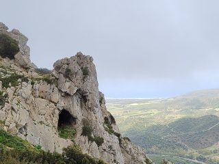
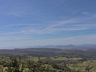
More precisely, this Natural Monument lies on the extensive plateau of Mesozoic limestone which sits at the bottom of the Supramonte di Orgosolo.
From a geomorphological point of view, the genesis of the sinkhole is associated with the formation process of karstic caves which developed mainly upwards, known as “fusoids“. In these kind of morphologies, the erosion processes develop along the cracks and other gaps in the limestone.
The sinkhole has a funnel shape, with a diameter of about 400 metres. The edge of the depression sits at a height of 884 m a.s.l. while the bottom reaches around 685 m a.s.l. with a disparity of about 200 metres.
Inside, at about 700 m a.s.l., a sub-vertical ponor opens up which is 30 metres deep and communicates with the vast underground karstic system. This system was probably linked to that of the Sa Oche and Su Bentu caves. The descent down to the bottom is made easier by the sinkhole’s morphology.
The origins of the place name Su Suercone are unclear. According to some sources, it may derive from the word “suerca” (“axil“) and would therefore mean “large axil“. According to another interpretation, it could mean “large cork oak“, though this is less likely as it is not a plant typically found in this area. The shepherds of Orgosolo and Urzulei used to call it “Su Sellone” or “Su Sercone“.
The sinkhole and surrounding area were populated as early as the prehistoric era, and were used as a burial place.
As well as being a Natural Monument, the sinkhole is also part of the Site of Community Importance (SCI) “Supramonte di Oliena, Orgosolo and Urzulei – Su Sercone” (ITB002212).


