The Beach of Roses, or as it is known locally “de is Orrosas“, lies in the town of Lotzorai, in the region of Ogliastra.
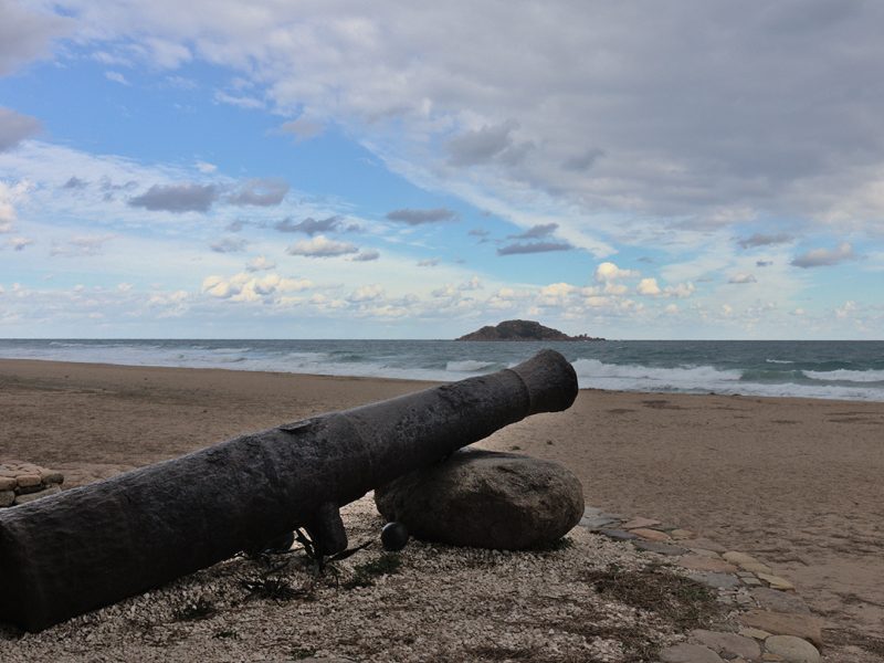
It is a long, supervised and equipped beach, extending for around 3 kilometres. Behind it lies a large camp site in the midst of a dense pine forest. It has a clear-coloured, fine sandy shoreline, which gently slopes down towards the sea, with a shallow seabed.
Given how far it extends, this stretch of coastline has different names. In the section furthest to the south, it is known as Iscrixedda, like the dune wetland of the same name Paule Iscrixedda. Heading northwards, near the mouth of the Rio Pramaera, it takes on the name of Spiaggia di Pollu. The last stretch to the north, in the hamlet of Santa Maria Navarrese, is known as Spiaggia di Tancau.
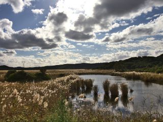
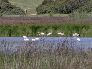
The Paule Iscrixedda dunal lagoon forms in the mouth of the Rio Girasole. This is an interesting wetland area populated by different species of bird and covered by a large area of rushes.
Opposite the sandy shoreline, no more than a kilometre from the shore, you can spot the Island of Ogliatra. Even if it is known as “the small island”, it is in reality a small archipelago of three large main rocks of pink granite and red porphyry and various other smaller outcrops. The largest island extends for around 10 hectares.
Its importance stems from the unusual aspect of its composing rocks as well as the presence of different species of marine birds, such as cormorants, Scopoli’s shearwater, shags, yellow-legged gull and Audouin’s gull. On one side of the island, on the high peak, around 50 m a.s.l., we can see a statue of the Madonna dell’Ogliastra, a work by the sculptor Pinuccio Sciola (1942–2016), whose feast day is celebrated at the end of July.
Ancient Arab coins were found on the island as well as a box with a manuscript. According to an ancient legend, Saracen pirates hid their treasure here.


