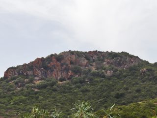
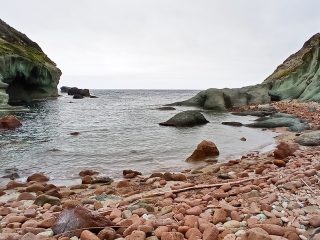
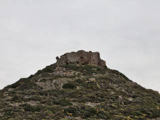
The Scala di San Giorgio is a naturalistic site in the municipal area of Osini, in the sub-region of Ogliastra, in the province of Nuoro.
The site is a Natural Monument established in 1994 and covers a surface area of 3.68 hectares, at a height of between 870 and 928 metres a.s.l.
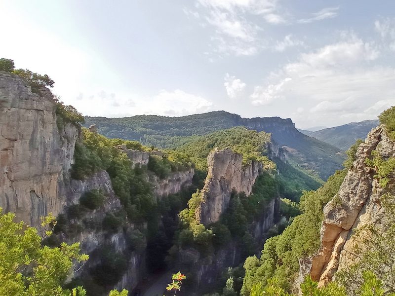
The “scala” extends along the eastern walls of the “heel” of Osini, a wide Dolomite rock plateau, representing a natural passage between two valleys, to the north-east of the Rio Pardu, and to the south-west of the Flumineddu.
The crossing is a narrow gorge, cordoned off by high looming rock walls (up to 100 metres high), crossed by a narrow, paved road.
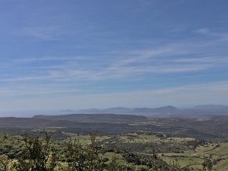
The “Sa Brecca ‘e Usala” trekking path extends up towards the mountain leading to the belvedere overlooking the gorge and towards the valley.
The geological origin of the gorge can be attributed to the vertical fracturing lines on the edge of the plateau. The rocks are part of a forest environment with a luscious wooded vegetation edging the base of the rocky walls. The rocks also have numerous cavities and ravines linked to the karstic processes, where the rupiculous fauna takes refuge.
Its religious nature is linked to a miracle performed by the Archbishop of San Giorgio, the first person appointed to the ancient Diocese of Suelli, who opened the gorge in 1117 during a pastoral visit to Osini. On reaching the foot of the impenetrable mountain, thinking mostly of the poor travellers, he said a prayer and miraculously the mountain opened up a narrow gap which made the walk quicker and easier. He also made a spring of water appear to ease the tiredness of the wayfarers.
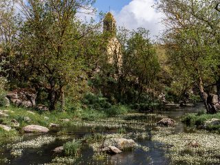
Around 1300, in honour of these miracles, Osini built a rural church at the foot of the mountain dedicated to the Saint.


