The caves of Sa Oche and Su Bentu can be found in the Supramonte di Oliena, near the Valle del Lanaitto, in the province of Nuoro.
The caves of Sa Oche and Su Bentu, once believed to be two separate caves, are part of the same karstic system. The system stretches for around 16 kilometres and the two caves are connected to one another through a siphon. Their name becomes even more characteristic by combining the Voice (sa oche) to the Wind (su bentu), poetically becoming the “Voice of the Wind“.
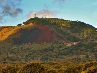
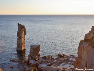
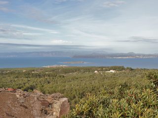
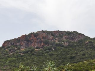
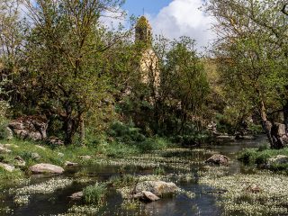
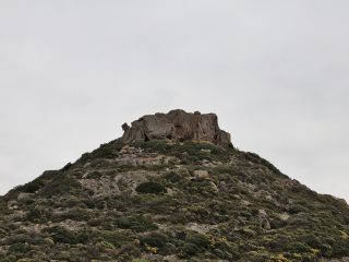
The landscape lying around the entrance to the cave is typical of the Supramonte, with high vertical walls of limestone rock. Growing amidst the rock is a forest and shrub with English yew, maple and centuries-old juniper trees.
The name Sa Oche derives from the loud roars caused by the floods which engulfed the cave after a storm.
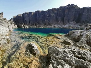
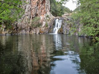
The cavity opens out at a height of 150 m a.s.l., in a wide entrance with three lakes and extends for around 400 metres. The section of Su Bentu can only be accessed by experts with speleology equipment.
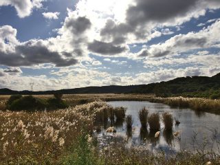
Sa Oche and Su Bentu’s karstic system is also crossed by a river which comes down from the plateaus of Orgosolo and Urzulei and resurfaces at the su Gologone springs.
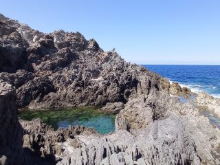
The caves preserve their naturalness with stalactites, stalagmites, tunnels, floors covered in sharp crystals, underground lakes and quartz sandy beaches.
Sa Oche and su Bentu are together some of the largest caves in Europe, attracting speleology enthusiasts and researchers who are expert in this subject matter.
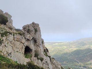
The entrance to Sa Oche is along a hiking trail, one of many winding across this part of the island, abundant in exceptional nature.
The cave is part of the Sites of Community Importance (SCI) “Supramonte di Oliena, Orgosolo and Urzulei – Su Sercone” (ITB022212) regulated by Rete Natura 2000.


