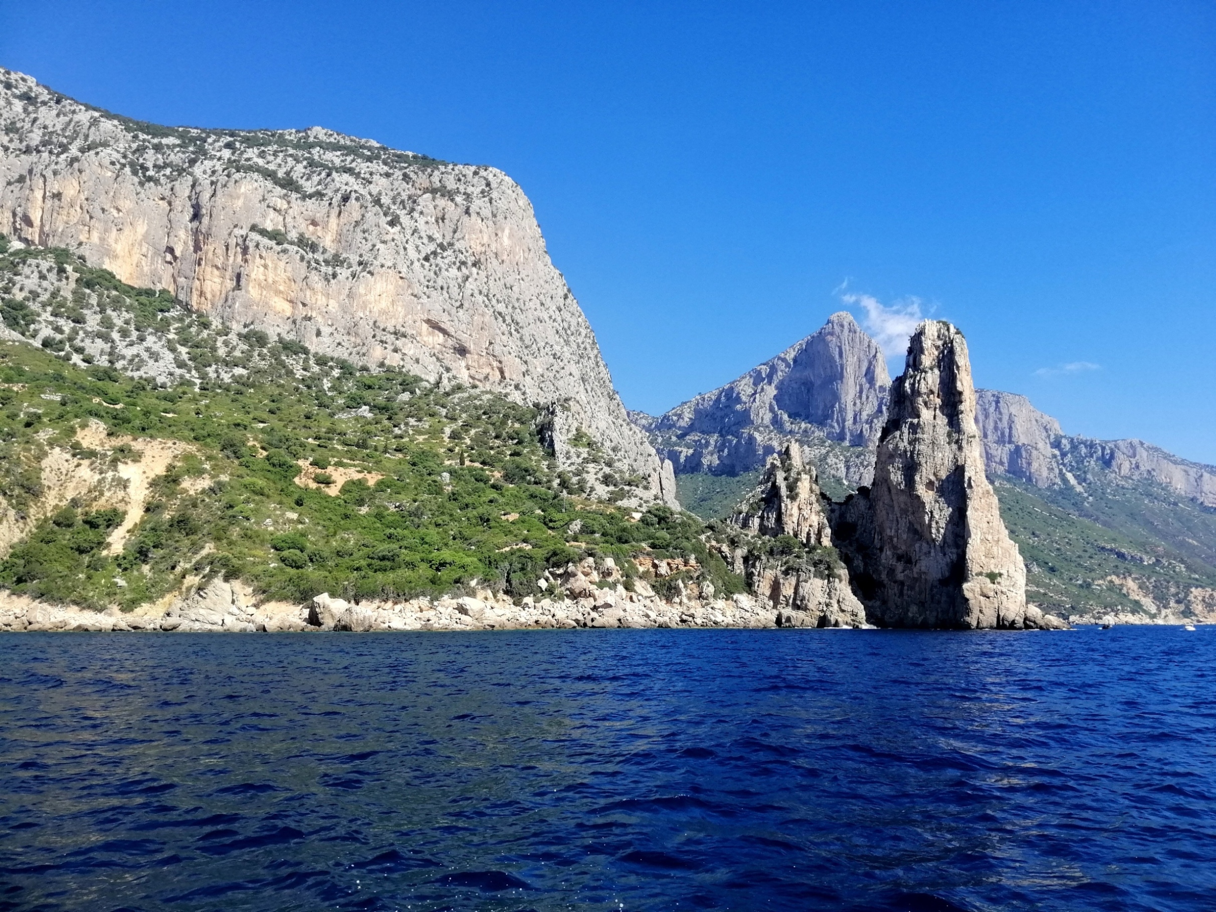
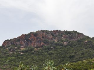
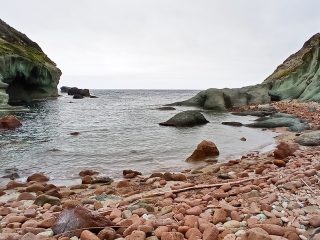
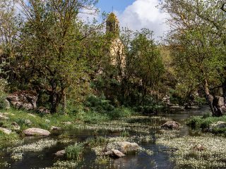
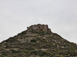
Perda Longa (or Pedra Longa) is a Natural Monument situated in the coastal area of Baunei.
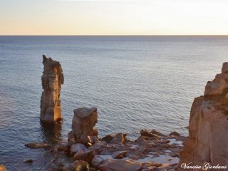
It is a peak of limestone rock standing at 128 m a.s.l. and faces out towards the sea.
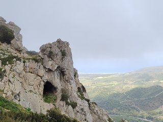
From a geological point of view, Pedra Longa is a block of limestone-Dolomite rock, and an integral part of the vast tableland of Baunei, which broke off during an ancient landslide phenomenon.
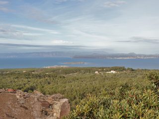
From a flora point of view, while not being well known for its vegetation, the promontory hosts wild olive and carob plants as well as typical essences of Mediterranean shrub.
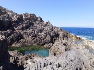
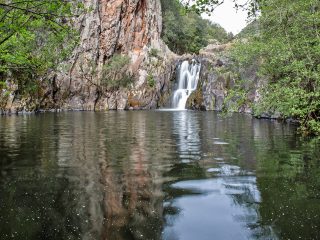
At the bottom of the rock, we find a small pebble and rock beach. The seabed features tablelands of rock with crystal clear water. Alongside flow the Cascate di Baus where, according to popular belief, the Saracens prepared a failed raid on Santa Maria Navarrese (mid-XIX century).
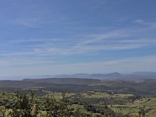
Pedra Longa can be considered the start of the spectacular coastal stretch in the Baunei area. Its covers over 40 km of coastline, with high limestone rocks, small beaches and crystal-clear waters.
The site sits not far from other natural monuments known as the Olivastri di Santa Maria Navarrese, the chasm of Su Sterru – Il Golgo and Punta Goloritzé. There are also a number of coastal caves in the area.
The most delightful way to reach it is undoubtedly along the paths which, from the mountain, slope down towards the coast. This monument is the starting point for the “Selvaggio blu”. This is an itinerary which leads from Santa Maria Navarrese, a hamlet on the Baunei coast, as far as Cala Gonone, and is considered one of the most difficult trekking routes in Italy.
Thanks to its naturalistic importance, in 1993, Perda Longa was declared a natural monument and is still to this day part of the National Park in the Golfo di Orosei and Gennargentu and of the Sites of Community Importance (SCI) “Golfo di Orosei” (ITB020014).


