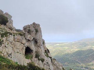
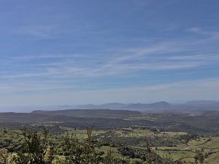
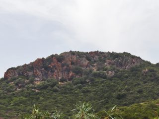
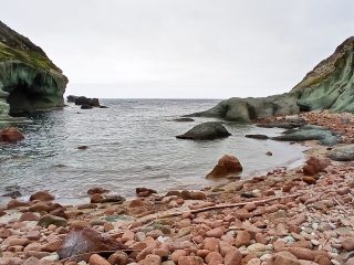
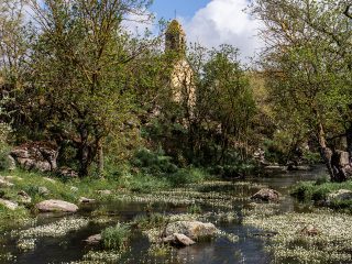
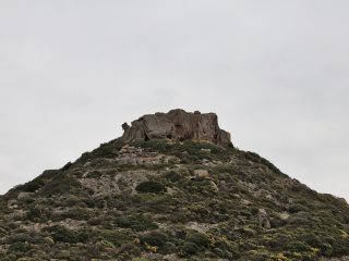
The area of the Regional Nature Park of Gutturu Mannu extends across the south-west of Sardinia embracing the districts of ten municipalities: Assemini, Capoterra, Pula, Santadi, Sarroch, Siliqua, Teulada, Uta and Villa San Pietro.
The Park has three access “entrances”, in three precise locations: Pantaleo (Santadi), Pixinamanna (Pula) and Santa Lucia (Uta).
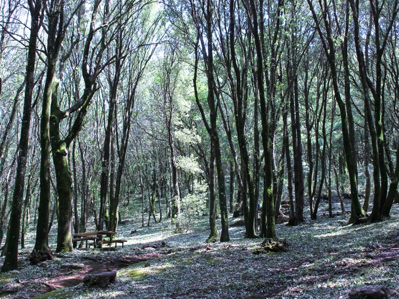
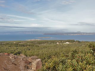
The forest extends across 4,748 hectares and is part of the complex of Sulcis forests, which make up the most extensive forest and Mediterranean shrub system in the Mediterranean.
The forest has evergreen trees with a predominance of holm oak and cork. The Mediterranean shrub extends across the whole area with essences of wild olive, mastic tree, strawberry tree, heather and phillyrea. In some areas there is also English yew and holly.
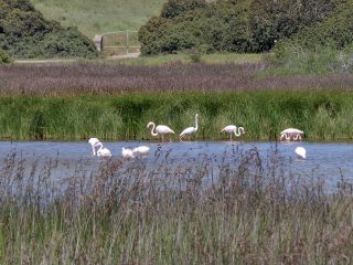
The fauna includes the Sardinian deer, the boar, the fox, the Sardinian wild cat, the marten, the woodcock, the wood pigeon and great spotted woodpecker.
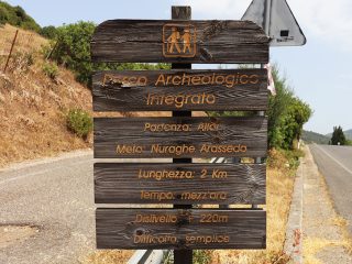
The area is also home to settlements of industrial archaeology mining (Pantaleo) as well as archaeological sites and the remains of the ancient farming culture.
The WWF Oasis of Monte Arcosucan be found inside the Gutturu Mannu and is the largest WWF oasis in Italy, established to preserve the Sardinian deer.
The park area has a large number of marked paths of different levels of difficulty, and there is also no shortage of equipped areas for taking a break.
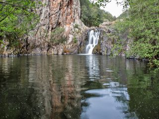
The park takes its name from the Gutturu Mannu river, ‘’large gorge’, (from the Sardinian gutturu=gorge and mannu=large), whose valley covers a vast section of the park area.
It is also part of the area of Site of Community Importance (SCI) “Monte Arcosu Forest” (ITB001105) and the “Gutturu Mannu – Monte Arcosu” Permanent Oasis of Fauna Protection.


