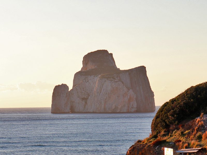
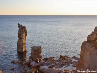
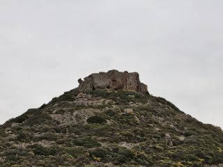
The Pan di Zucchero (Sugar Bread) is a stack in the middle of the sea opposite the coast of Masua, a hamlet in the municipality of Iglesias.
Together with the other emerging rocks typical of this stretch of coastline, it was declared a Natural Monument and given the name of “Pan di Zucchero Faraglioni di Masua”.
Its original toponomy is “Concali su Terràinu” meaning “head of half a donkey”. The name Pan di Zucchero appeared for the first time in documents and maps in the 1700s.
The stack sticks up to a height of 133 m a.s.l.. and covers an area of 3.72 hectares. It is made up of a pure white ceroid limestone rock. Its formation was caused by marine erosion which led to it being cut off from dry land
Further south are another two rocks, similar to each other, called S’Agusteri, the most southerly one and Il Morto.
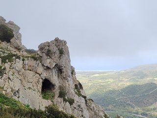
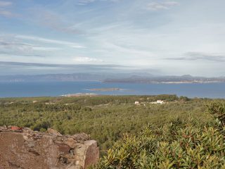
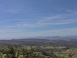
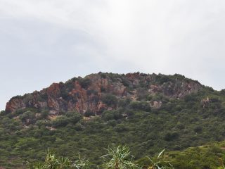
On land, the promontory opposite the stack goes by the name of Sa Schina e Monte Nai. This is a huge carbonic elevation (398 m. a.s.l.), difficult to reach and made of limestone and dolomite rock.
This area is also well known for the unusual mine at Porto Flavia overlooking the stack with an opening onto the sea.
This stretch of coastline falls entirely within the area of the Sites of Community Importance (SCI) “Costa di Nebida” (ITB040029) regulated by the Rete Natura 2000.


