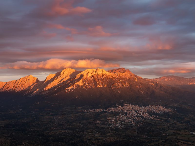
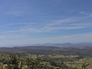
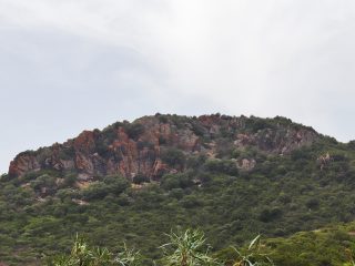
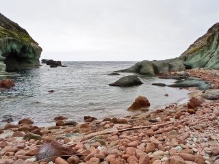
Monte Corrasi is a mountainous limestone summit of particular environmental interest and the highest peak in the Supramonte di Oliena, in the province of Nuoro.
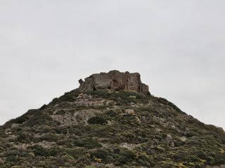
This imposing rocky crag is, in reality, a series of peaks. As well as the Punta Corrasi (1,463 m a.s.l.) you will also find Punta Sos Nidos (1,348 m a.s.l.), Punta Ortu Camminu (1,331 m a.s.l.), Punta Carabidda (1,321 m a.s.l.), Punta Cusidore (1,147 m a.s.l.), Punta Preda ‘e Mugrones (1,138 m a.s.l.), Fruncu Nigheddu (981 m a.s.l.) and Monte Uddè (910 m a.s.l.).
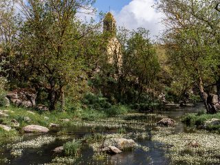
On the slopes of the massif, closed in by the Superamonte, we find the Valle del Lanaittu (or Lanaìtho). There are a number of interesting naturalistic sites here like the Grotta di Sa Oche e su Bentu, the Su Gologone Spring and one of the paths leading to Monte Tiscali starts here.
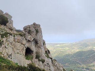
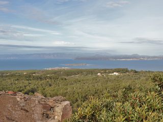
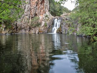
It offers the typical, charming scenery found in this part of Sardinia. The clear limestone colours contrast with the green of the forests and the Mediterranean shrub. The whole area is rich in forms linked to the karstic processes, such as caverns, rocky peaks, plateaus, limestone pavements, ponors and sinkholes.
Its important naturalistic value comes from the presence of a considerable variety of botanical species. More than 650 species have been identified, including different endemisms. This is why in the 1970s, the Italian Botanical Society included the Monte Corrasi site in the Census of Biotopes of significant vegetation interest worth preserving.
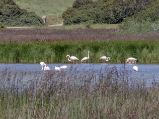
There are also different protected bird species like the golden eagle, the buzzard, the peregrine falcon, Eleonora’s falcon and, among the mammals, the mouflon.
The area is part of the Sites of Community Importance (SCI) “Supramonte di Oliena, Orgosolo and Urzulei – Su Sercone” (ITB022212) regulated by Rete Natura 2000.


