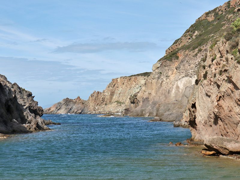
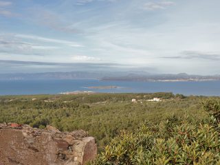
Cala Vinagra overlooks the northern coast of the Isola del San Pietro, in the municipality of Carloforte.
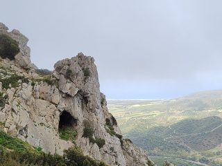
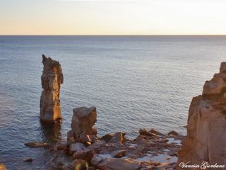
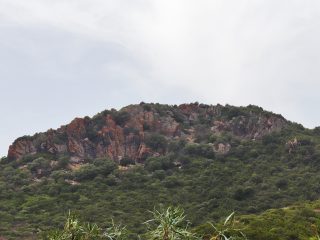
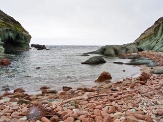
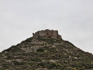
The deep inlet sits amidst the grey cliffs of volcanic rock (welded tuff) and extends for around 200 metres inland. Opposite the inlet sits the small Isola di Cala Vinagra, with its grey and pink colours, whose summit reaches 22 m. a.s.l.
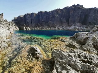
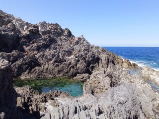
To the east of the inlet opening, close to the Canale di Basilio river outlet, is a small cove, protected by the reef, with a mixed seabed of gravel sand, shingle and pebbles. The sea takes on intense colours, from light blue to crystal green, with a seabed mainly made up of clear rocks and sand.
The cliffs and walls are full of cavities and small caves, some only visible from the sea, while others are visible along the route which follows the Canale di Cala Vinagra river.
The last kilometre of this access route is cordoned off making the cove difficult to access. The other possible route is by crossing the paths which come from the east, along the coast.
In the area behind the cove, we can see the ruins of an old tuna fishery, records of which date from 1770 and which was abandoned in 1925.
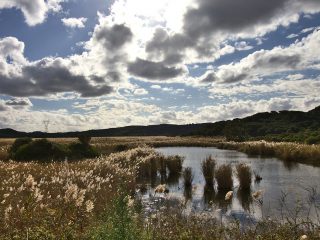
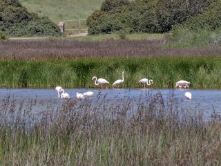
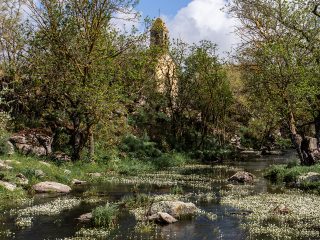
Not far from the cove is a small wetland known as the Stagno di cala Vinagra. The pond is difficult to reach because it sits in the middle of private property.
The cove with its rocky formations is classified as a geological site and, as with the entire island, is part of the Sites of Community Importance (SCI) “Isola di San Pietro” (ITB040027).


