
Forest’Anela is a state-owned forest lying mostly in the municipality of Anela as well as the area of Bono and Bultei, in the province of Sassari.
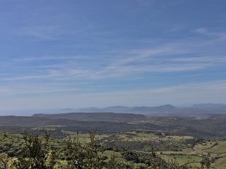
The forest extends to a height of around a thousand metres, on a vast plateau and, together with the Monte Pisanu forest, is the state-owned forestry area of Goceano, which covers an overall area of 3,500 hectares.
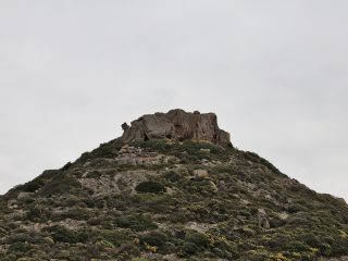
The highest point in the area is Punta Masiennera (1,156 m a.s.l.) which is also home to a fire-prevention lookout point. Indeed, close to the forest is the barracks of the Forestry and Environmental Surveillance Unit and a heliport for fire-prevention intervention.
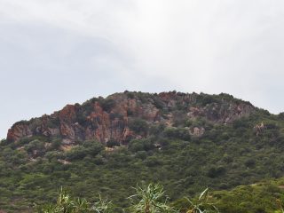
The area’s geology is mainly characterised by the presence of Paleozoic granite, alternating with schistose-type metamorphic rocks.
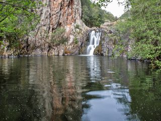
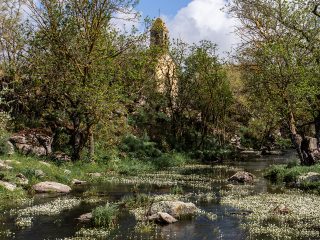
Different torrential rivers cross the forest, including the rio s’Infundadu.
The flora features the presence of oak trees such as holm oak and downy oak, in some areas mixed with holly, as well as beech, chestnut, Atlas cedar, pinus nigra, black alder and spruce.
Forest’Anela has been state-owned since 1886 and, over the years, has been the subject of different reforestation and management work. There is an artificial lake in Sa Minda near the Forestry Commission’s barracks with an area equipped for camping and picnics.
The Forest’Anela can be reached along the Provincial Road 36 where the fork for the Forest can be found with a wooden hut. A paved road leads off from here which takes you to the barracks and from there the forest.
The forest is part of the Sites of Community Importance (SCI) “Catena del Marghine and del Goceano” (ITB011102) regulated by the Rete Natura 2000.


