
Capo Testa is a small peninsula to the north of Sardinia, in the area of Santa Teresa di Gallura.
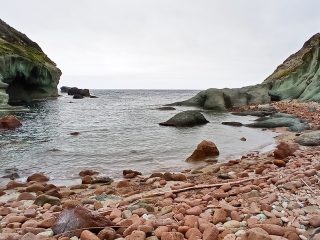
Capo Testa or “Capu Testa” in Gallurese dialect and in Corsican, was originally a small island, artificially connected to dry land via an isthmus with a road running across it. This has ensured that nowadays two beaches extend either side: Rena di Ponente overlooking the southwest and Rena di Levante to the northeast.
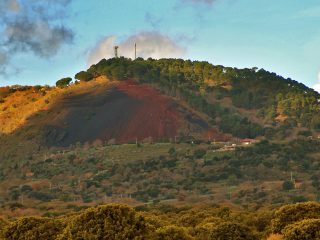
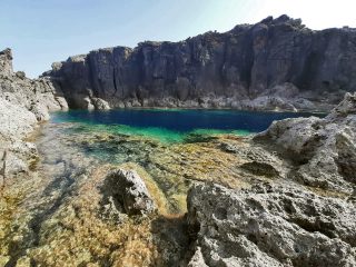
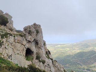
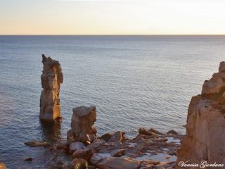
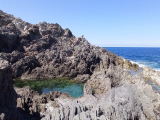
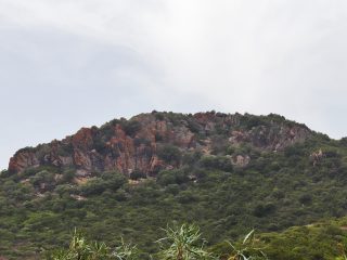
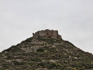
The perimeter of the peninsular is around 10 kilometres and the landscape is dominated by granite rock typically found in Gallura, with their erosion forms created by atmospheric agents, known as “tafoni”.
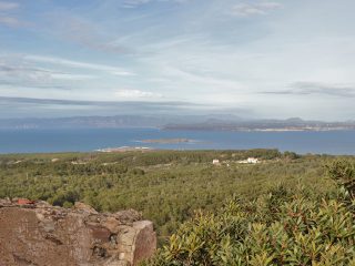
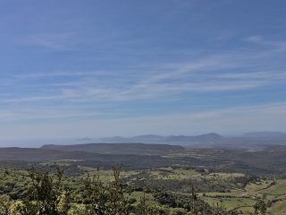
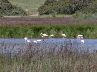
The vegetation includes types of Mediterranean shrub bushes with juniper and Mastic trees, as well as different local flora species, typically found in the area.
Another characteristic element of the Cape is the “Cala Grande” at the end of the section known as Valle della Luna. The natural processes have, in fact, led to the formation of different valleys and this scenario led, in the 1960s to the establishment of a community of hippies who chose to live there, in contact with nature and far from busy city life. The name, Valle della Luna recalls the colour of the rocks and their intense dim light on nights lit up by moonlight.
The history of Capo Testa is even older, in fact, the site was populated as far back as Roman times when they excavated the granite to take it to Rome.
Nowadays, there is a lighthouse on the Capo Testa promontory, an important element for navigation across the Strait of Bonifacio. The former lighthouse sits next to the more modern one and can still be visited.
The Capo is part of the Site of Community Importance (SCI) “Capo Testa” (ITB010007), regulated by the Rete Natura 2000.


