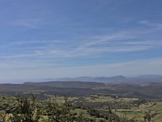
The Paulilatino plateau takes its name from the town of the same name located in its centre, in the area of Guilcer. From a geographical point of view, it can be considered the southern section of the more extensive basaltic plateau of Abbasanta.
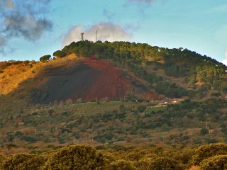
The area can be split into two main parts, to the north-west and south-east of the town. Both sections of the plateau are basaltic type volcanic rock dating back to the ancient eruptions in the area of Montiferru.
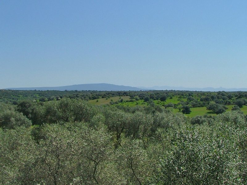
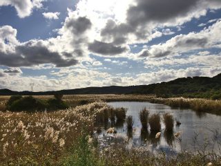
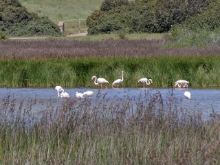
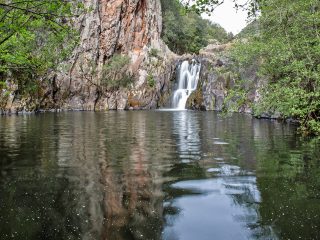
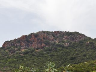
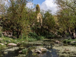
Its vegetation features the presence of holm oak forests and Mediterranean shrub bushes. The area is rich in surface water and it is not uncommon to find rivers and lakes. Indeed, there are valleys and channels linked to the flow of water. The most important ones lie in the north-western section, where we find the valleys of the Riu Pizziu. This is a complex mountain area which is difficult to reach and features lush vegetation. The Plateau’s grey-blackish basalt rocky ridges can be seen from here.
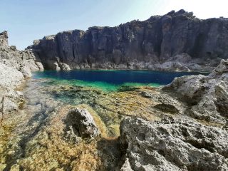
In the south-eastern section we find the Pischina Niedda Valley, a long, narrow score in the basaltic plateau with steep high walls and tangled vegetation.
To the south, in the area bordering the municipality of Fordongianus, we find the Tanca Marchese Forest. This area is also difficult to reach and has thick bushy vegetation with singular specimens of holm oak. The area is well known for the presence of numerous ancient sheep pens, now in disuse.
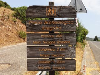
More than anything, the area is famous for its important archaeological heritage linked to the settlements from the Nuragic age.


