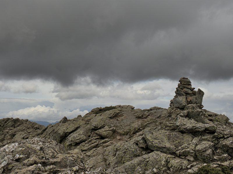
The Punta La Marmora is the highest summit in Sardinia (1,833 m a.s.l.). It is part of the Gennargentu Massif, in the municipality of Arzana, on the border with the municipality of Desulo.
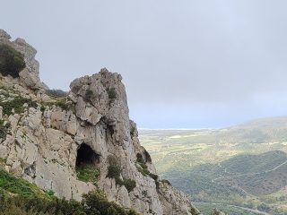
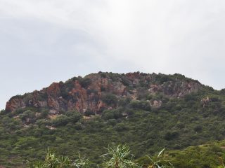
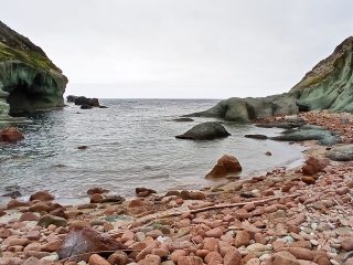
The geology of the area is characterised by rocks from the Palaeozoic era, mostly phyllites (metamorphic rocks), followed by granite (igneous rock) to the north and sandstone (sedimentary rock) towards the east.
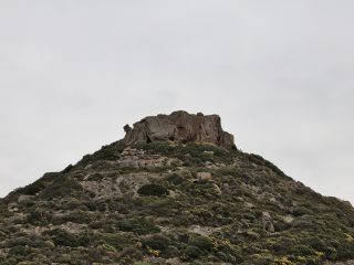
The peak is round and has almost no vegetation. The slopes are partially covered in unusual herbaceous and bush vegetation and are conditioned by the cold climate in the area. This harsh climate opened the way to the formation of a typical mountainous flora. The most common species is the dwarf juniper with different other similar species (e.g. thyme, Corsica pansy), many of them identified as endemic and rare (e.g. Lamyropsis microcephala, peonies). The forest vegetation comes from the decidious oak forest (e.g. downy oak and holly). Occasionally, you may also find English yew, as is the case on the western slope of Su Sùssiu.
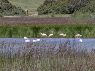
The fauna includes the golden eagle and mouflon, whose natural habitat is these mountains.
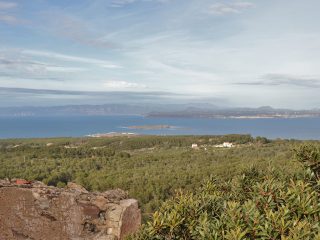
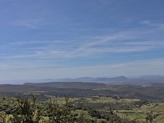
From the peak of Punta La Marmora, on a clear day, you have a view extending over most of the island, and you’ll even manage to spot the mountains of Corsica to the north as well as the hills of Cagliari to the south, and different stretches of coastline.
The peak is named after the general in the royal army, Alberto La Marmora (1789-1863), who was the first one to establish its height. La Marmora also described the island in two scientific-literary works: “Voyage en Sardaigne” (1826) and “Itinéraire de l’île de Sardaigne” (1860). The origins of the place name, in Sardinian, is “Perda Crapìas” (broken, cracked stones), due to the schist nature of the rocks, which tend to crumble.
The peak can be accessed along hiking trails (e.g. Gennargentu T-721), under the protection of FORESTAS. There are numerous panoramic points and areas equipped for taking a break.
Punta La Marmora is part of the Site of Community Importance (SCI) “Monti del Gennargentu” (ITB021103) regulated by the Rete Natura 2000.


