The Monte Arci mountain range is the second largest in the province Oristano.
The Reserve covers an area of around 270 square kilometres and runs through eleven municipalities: Ales, Marrubiu, Masullas, Morgongiori, Palmas Arborea, Pau, Santa Giusta, Siris, Usellus, Villaurbana and Villaverde. The area of Morgongiori is about 13,560 hectares.
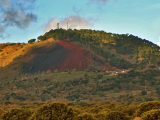
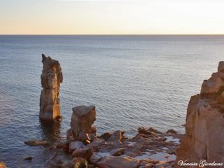
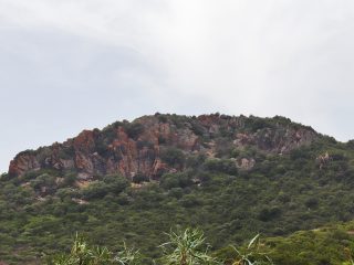
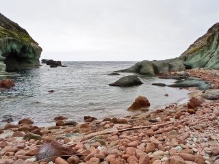
The geological analysis of the massif takes us to its volcanic origin, mainly made up of extrusive rocks dating to the Oligocene and Pliocene eras. The rocks range from trachyte to basalt as well as the well-known presence of obsidian, a kind of volcanic glass and quite unique to the area.
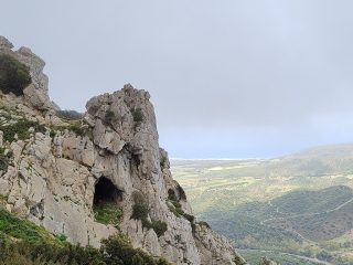
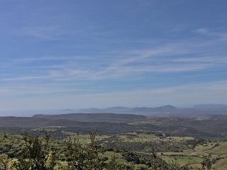
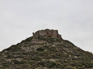
The highest summit in the area, Trebina Longa (812 m. a.s.l.) is a volcanic neck. This kind of geomorphological formation is an ancient fossil volcanic channel, where natural erosion has dismantled the outside part.
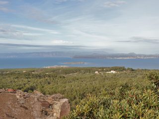
Similarly, near this peak we can observe Trebina Lada (795 m a.s.l.) and the peak of Portedd’e Murus (792 m. a.s.l.). The three summits give an image of a kind of natural tripod. You can admire not only the forests below from these summits but as far as the western coast, towards Oristano.
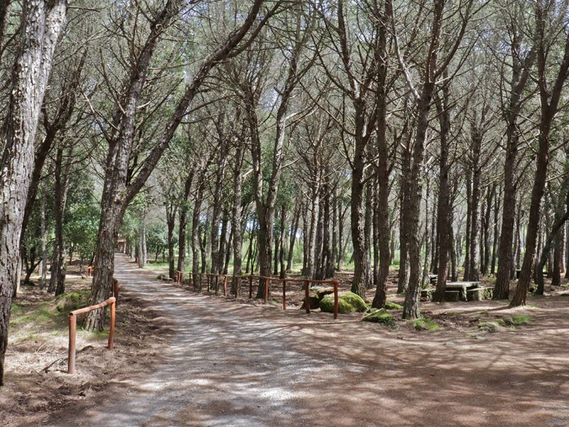
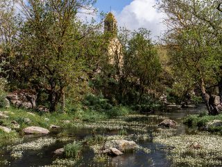
The flora features a thick Mediterranean shrub with rockrose, fern, holm oak, downy oak, cork and other typical essences like lavender, violets and orchids.
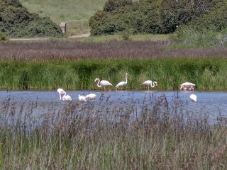
From a fauna perspective, the forest is inhabited by boar, weasels, martens, foxes and deer and fallow deer have been reintroduced. Flying around in the sky above the reserve are wood pigeons, chaffinches, jays and hoopoes. Other birds of prey include, goshawks, sparrowhawks, Lesser Kestrels and peregrine falcons, nesting in the area.
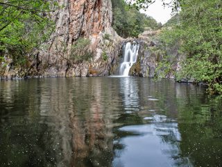
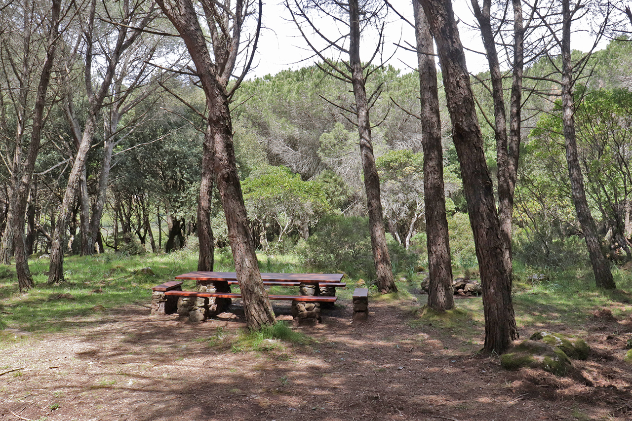
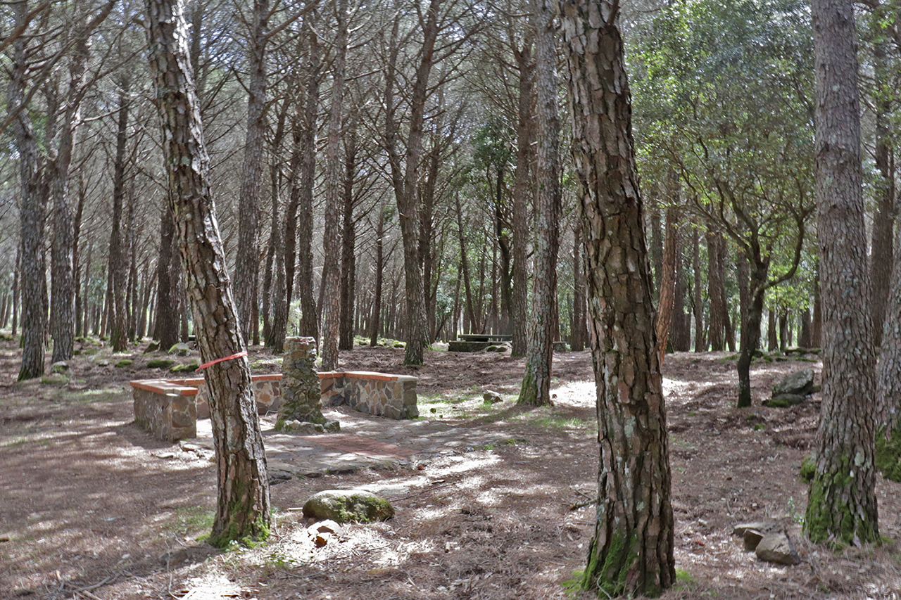
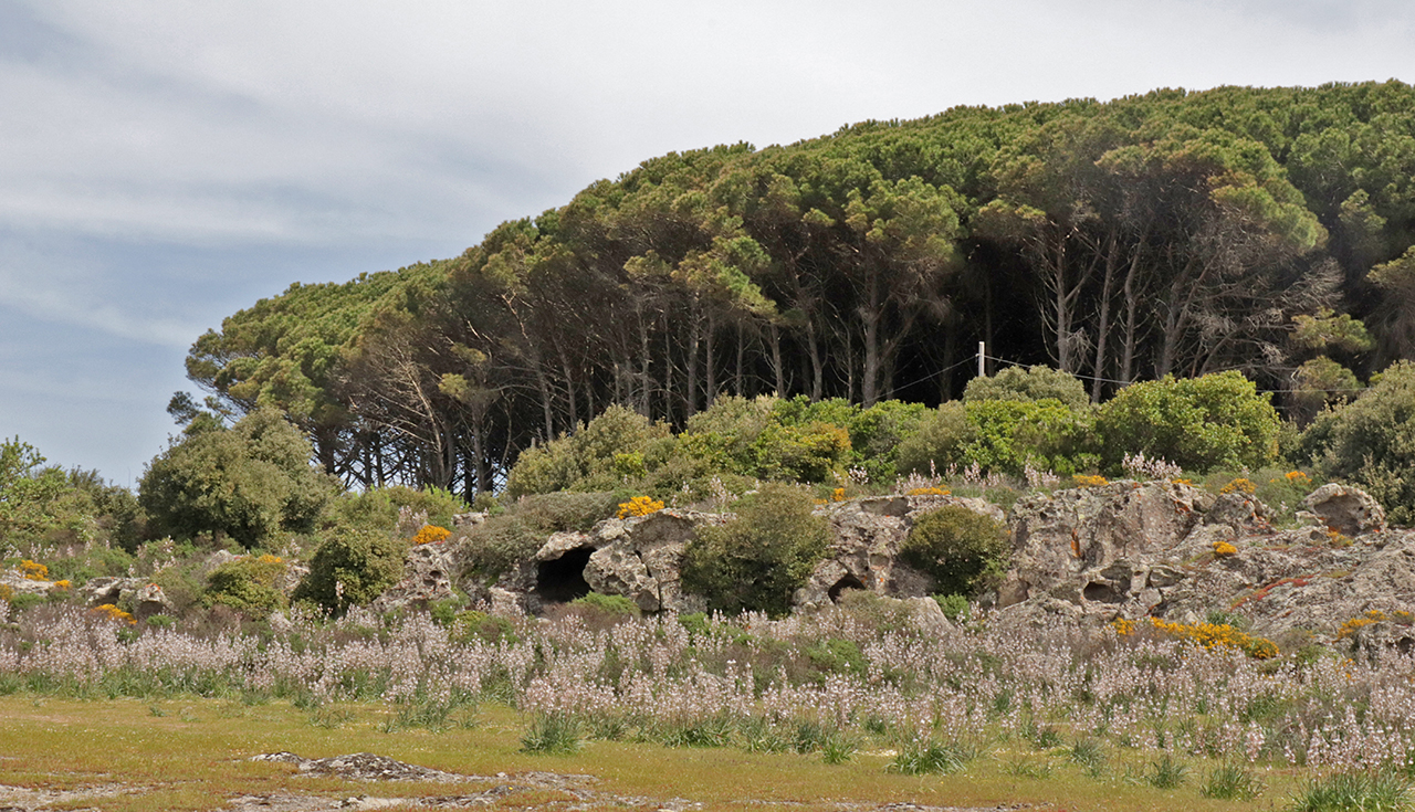
Some of the places worth mentioning in this part of Monte Arci include the Is Benas pine grove (also known as Benazzeddus) with the Funtana Franca spring. As well as the forest, you can see the trachyte rocks with small natural caverns which formed through water erosion.
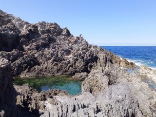
The Conca Mraxi natural sculpture, formed through the action of atmospheric agents on the dacite rock faces. The formations of Dicco Is Murus and Dicco Corongiu Sitzoua, characteristic rock formations, again of volcanic origin. The small valleys of the rio Solacera and the rio Caputacquas, with pathways and tracks, at the foot of Trebina Lada.


