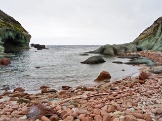
The beach of Solanas lies in the district of the same name in the countryside around the municipality of Sinnai (Cagliari).
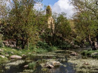
The beach is less than 1 km long and is enclosed in a bay between the promontories of Capo Boi, to the southeast and Punta Porto Perdosu (to the northwest). The Rio Solanas flows into the southeastern sector of the beach, a river mostly subject to seasonal change which often, especially in recent years, has caused flood plains.
Still in the southern sector, we find an imposing sand dune at the end of the beach, which lies on the side of the Capo Boi promontory.
This sector is part of the Sites of Community Importance (SCI) “Costa di Cagliari” (ITB040021), regulated by the Rete Natura 2000, which includes the entire Capo Boi promontory.
The geology of the area is dominated by the presence of granite, flood plain deposits and large-grain sandy beach.
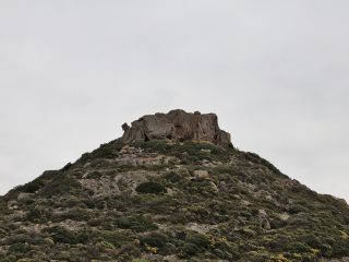
The vegetation is typical of marine areas and coastal promontories, in formations of bushes and garigues. There are bushes of rockrose, Mastic tree, euphorbia and juniper.
Particularly noteworthy is the presence of the Phoenician juniper, a protected species and of important naturalistic significance. These are highly enduring plants which tend to grow into contorted shapes, adapting to the strong winds, especially in exposed areas.
The beach can easily be reached along the coastal road SP17 as far as Solanas.


