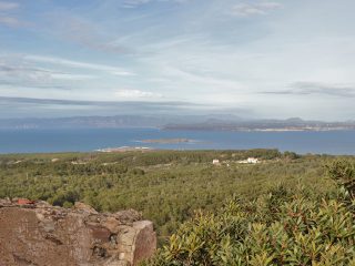
Cala Domestica is located in the municipal area of Buggerru, on the border with the Iglesias area, on the western coast of Sardinia.
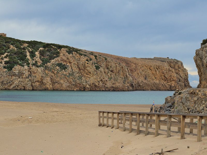
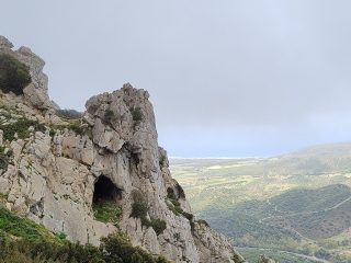
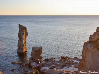
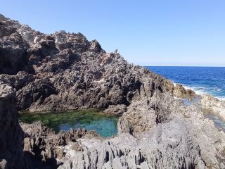
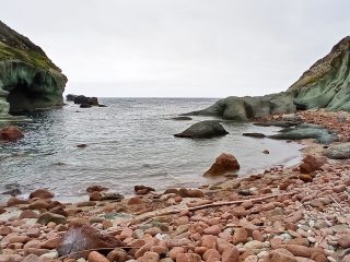
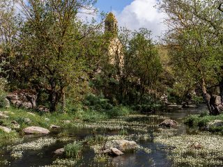
This beach has unique features and can be found at the end of a deep inlet between the rocky limestone promontories. It is the outlet for the rio Gutturu Cardaxius, with a coastal morphology that takes the name of Ria.
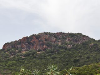
Beach which extends for around 100 metres, surrounded by high cliffs covered with Mediterranean shrub. Behind this is a system of stable dunes, extending for over 300 metres, crossed by wide wooden gangways to avoid crushing it.
The sand is a greyish –cream colour, with a mid-fine grain gravel. The clear colours of the sandy shore combine with the crystal-clear blue of the sea, with its shallow sandy seabeds.
To the right of the main beach, across a tunnel dug by miners, you can access a second small and secluded beach, known as Sa Caletta. The sandy shore extends for more than 20 metres and is the outlet for the rio Canale di Domestica.
Cala Domestica, as well as being an important nature site, has a past linked to mining in Sardinia. Indeed, up until 1940, the cove acted as a mooring for loading minerals, extracted from nearby mines. The remains of the structures linked to this activity are still visible in the area.
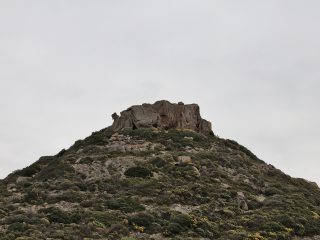
Furthermore, on top of the promontory to the south of the cove is a Spanish tower from the XVIII century, about 10 metres high. The tower was also used during the Second World War as a lookout point.
Near the beach, before heading on foot along the walkways, there is a large car park, also set up for camper parking. There is also a refreshment point and seasonal swimming facilities.
This entire stretch of coastline is part of the Sites of Community Importance (SIC) “Costa di Nebida” (ITB040029), regulated by the Rete Natura 2000.


