
The neighbourhood was founded by the House of Pisa in the XIII century, after Castello. It was also called “Lapola”, from the name of the Tower of Pisa; its extension was delimited to the north by the Castello wall in the current day via Manno and to the south by the current day via Roma.
It was originally designed for warehouses, commercial buildings, fishermen and traders who worked near the port. The neighbourhood witnessed an increase in inhabitants and was also extended during the Catalan-Aragonese domination; indeed maritime trade positively affected the neighbourhood’s population. At that time, the role of Marina as the port of Castello and their interdependence, providing the district with the role of first line of defence of the political and civic centre and the city itself.
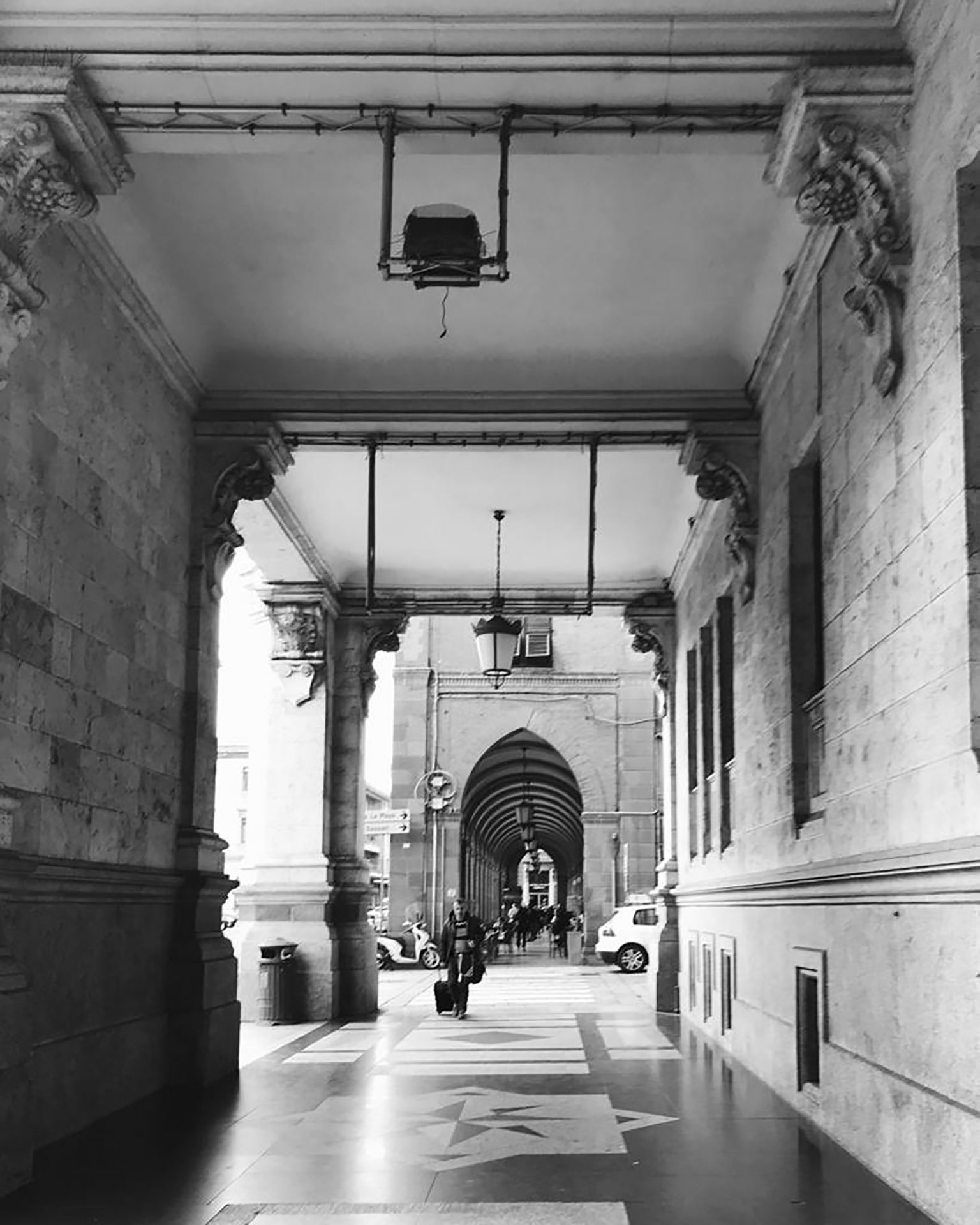
The walls which were extended during the Catalan-Aragonese period were demolished in the second half of the XIX century to connect the district to the rest of the city. The three road axes of via Roma, largo Regina Margherita and Carlo Felice replace the vast spaces left free by the gradual dismantling of the fortified enclosure. Via Roma stems from this perspective of opening and projection towards the sea with the construction of buildings overlooking the port through a series of interconnecting porticoes.


